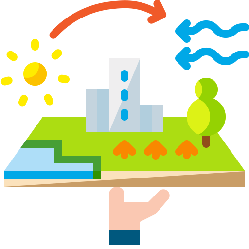
Urban Intelligence Smart City Design
Designing innovative, sustainable urban environments using smart technology to enhance infrastructure, community living, and long-term city growth with good strategies.
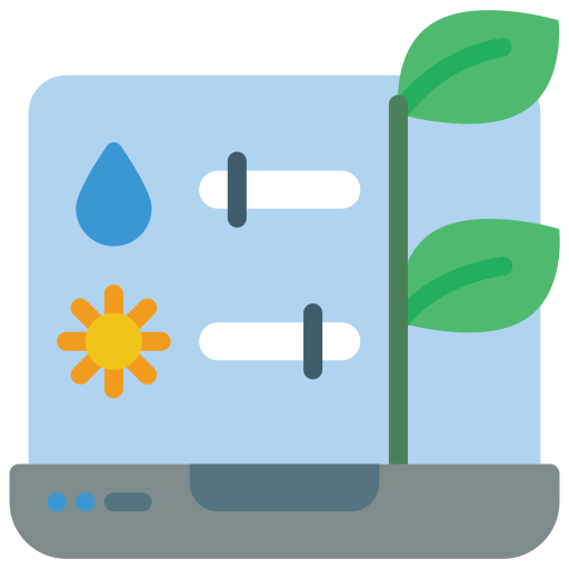
Environmental Monitoring & Climate Adaptation
Delivering smart solutions in environmental monitoring & Climate Change tracking Climate change, reducing risk, and guiding eco-conscious planning decisions. Spatial Nexus
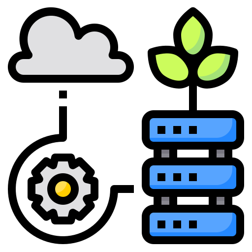
Natural Resource Intelligence
We help governments, businesses, and organizations develop sustainable Natural Resource Management plans that preserve ecosystems and ensure future environmental resilience.
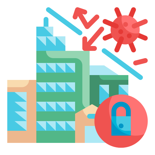
Disaster Resilience Geo Hazard Mapping
From risk identification to emergency response, we deliver comprehensive disaster management services that enhance preparedness, reduce vulnerability, and support recovery for all sectors.

Renewable Energy & Sustainability
Driving sustainability through innovative renewable energy systems, designed to minimize impact, maximize efficiency, and ensure a resilient future for generations.
Advanced Remote Sensing Satellite Analytics
Our solutions drive sustainable development by harnessing renewable energy sources and creating long-term value for communities and the planet.


Ready to start your geospatial project?
Tell us about your challenge. Our GIS experts will get back to you with a tailored solution within 24 hours.