About Us Spatial Nexus
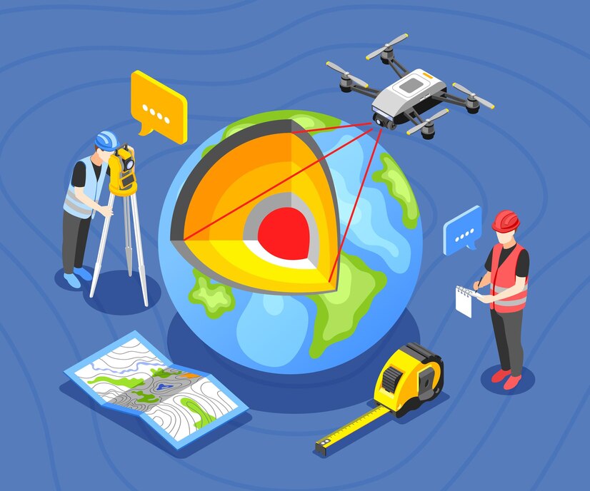
RAt Spatial Nexus, we specialize in delivering cutting-edge Geographic Information System (GIS) and Remote Sensing (RS) solutions to support smarter planning, sustainable development, and data-driven decision-making. With a team of experienced GIS analysts, developers, and planners, we empower governments, businesses, and organizations across diverse industries to harness the full potential of geospatial technology.
Our services span Urban Planning, Disaster Management, Renewable Energy Mapping, Environmental Monitoring, and more, all built on accurate spatial data, innovative tools, and a commitment to quality. From high-resolution satellite imagery analysis to real-time mapping applications, we provide the insight you need to make informed decisions that shape the future.
We believe in technology that solves real-world problems. That’s why our GIS & RS solutions are tailored, scalable, and impactful. Whether you’re a city planner, environmental consultant, or infrastructure developer, we’re here to help you unlock smarter solutions through powerful geospatial intelligence.


