In today’s data-driven world, the way we understand and manage our planet is rapidly evolving. At the center of this transformation are GIS (Geographic Information Systems) and Remote Sensing technologies. These tools are redefining how governments, planners, and organizations analyze spatial data and make decisions. Often referred to as the Digital Earth Revolution, this shift is enabling more accurate, real-time insights into environmental and development challenges, helping stakeholders respond with precision and confidence.
Understanding GIS and Remote Sensing
GIS is a powerful framework used to collect, manage, analyze, and visualize spatial data. It allows users to create layered maps that reveal patterns, relationships, and trends across geographic regions. Remote sensing complements GIS by capturing Earth data from satellites, drones, and aerial systems. It measures reflected or emitted energy to monitor land, water, vegetation, and atmospheric conditions.
When integrated, GIS and remote sensing provide a comprehensive geospatial intelligence system. This combination supports both real-time monitoring and long-term analysis, making it essential for modern environmental management and infrastructure planning.
Environmental Impact and Policy Transformation
Climate Change Monitoring
Remote sensing plays a critical role in tracking climate change indicators such as temperature rise, glacier retreat, and greenhouse gas emissions. GIS enhances this data by enabling spatial modeling and scenario analysis. Policymakers can use these insights to design targeted climate adaptation and mitigation strategies based on regional vulnerabilities.


Forest and Biodiversity Conservation
Satellite imagery enables early detection of deforestation, illegal logging, and habitat loss. GIS helps map biodiversity hotspots and conservation zones, ensuring that protection efforts are data-driven and effective. These technologies support sustainable ecosystem management and help preserve endangered species.
Water Resource Management
Managing water resources has become increasingly complex. Remote sensing allows continuous monitoring of rivers, lakes, and groundwater levels. GIS-based watershed analysis supports efficient allocation and conservation strategies, particularly in drought-prone regions. This ensures sustainable water use for agriculture, industry, and urban needs.


Pollution Monitoring and Control
Advanced satellites can now detect air pollutants such as nitrogen dioxide and ozone. When combined with GIS analysis, this data helps identify pollution sources and assess environmental impact. Authorities can implement targeted regulations and improve public health outcomes through evidence-based decision-making.
Role in Development Planning and Urban Growth

Urban and Regional Planning
Rapid urbanization requires smarter planning approaches. GIS integrates data such as population density, land use, and infrastructure networks to support informed decision-making. Urban planners can optimize zoning, transportation systems, and service delivery using accurate spatial insights.
Disaster Management and Risk Reduction
GIS and remote sensing are essential for disaster preparedness and response. Satellite data helps detect natural hazards like floods, earthquakes, and storms. GIS models risk zones, supports evacuation planning, and enables faster damage assessment, improving emergency response efficiency.


Agricultural Optimization
Precision agriculture relies heavily on remote sensing data. Farmers can monitor crop health, soil moisture, and pest activity in near real-time. GIS mapping identifies productivity variations, allowing targeted use of fertilizers, water, and pesticides. This improves yield while minimizing environmental impact.
Infrastructure and Smart Development
GIS supports infrastructure planning by identifying optimal routes and locations based on terrain, population, and cost efficiency. Remote sensing helps monitor construction progress and environmental changes over time. Together, they enable smarter, more sustainable development projects.

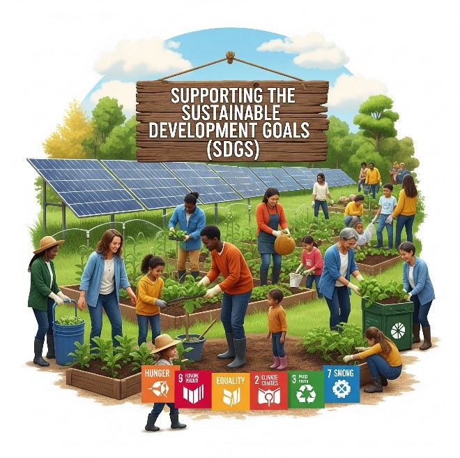
Supporting Sustainable Development Goals (SDGs)
Geospatial technologies are key enablers of the United Nations Sustainable Development Goals (SDGs). GIS and remote sensing provide measurable data to track global progress:
- Zero Hunger (Goal 2): Monitor agricultural productivity
- Clean Water (Goal 6): Track water availability and quality
- Sustainable Cities (Goal 11): Enable smart urban planning
- Climate Action (Goal 13): Analyze emissions and climate risks
These insights help governments and organizations make informed, accountable decisions.
Real-World Applications
Across the globe, GIS and remote sensing are already delivering impact. In Brazil, satellite monitoring helps control Amazon deforestation. In India, GIS supports urban expansion planning in major cities. African nations use satellite data for drought monitoring and water mapping. European cities apply GIS in smart city initiatives to improve energy efficiency. In Saudi Arabia, geospatial technologies are used to combat desertification and support large-scale sustainability programs like the Saudi Green Initiative.
Challenges and Future Opportunities
Despite their advantages, these technologies face limitations such as high data costs, lack of skilled professionals, and limited access to advanced tools in some regions. Data sharing between countries also remains a challenge. However, the rise of open-source GIS platforms, cloud computing, and global collaboration is helping overcome these barriers.
Investing in geospatial education, infrastructure, and partnerships will be critical to unlocking the full potential of GIS and remote sensing in the coming years.
Conclusion
The Digital Earth Revolution is reshaping how we approach environmental sustainability and development planning. GIS and remote sensing are no longer optional tools-they are essential for making informed, data-driven decisions. From climate monitoring to smart city development, these technologies transform complex spatial data into actionable insights.
For organizations looking to stay competitive and sustainable, adopting geospatial solutions is a strategic necessity.