
Based in LahoreServing clients worldwide
About Spatial Nexus
Spatial Nexus is a geospatial consultancy providing professional geospatial solutions to organisations, businesses, infrastructure developers, researchers, government institutions and environmental organisations. Our services include:
- Geographic Information Systems
- Remote Sensing and Earth Observation
- Web GIS and Interactive Mapping
- Google Earth Engine
- GeoAI and Geospatial Automation
- Spatial Analysis and Modelling
- Infrastructure and Engineering GIS
- Environmental and Climate Analysis
We combine geographic information systems, Earth observation, spatial analytics and modern geospatial technologies to turn complex geographic data into information that supports better decisions.
Purpose, vision and mission
Our purpose
To make geographic information accurate, accessible and useful for the people who plan, build and protect places.
Our vision
Decisions about land, infrastructure and the environment that are routinely informed by reliable spatial evidence.
Our mission
To deliver practical geospatial solutions that clients can understand, verify and act on.
Our approach
How we approach geospatial solutions
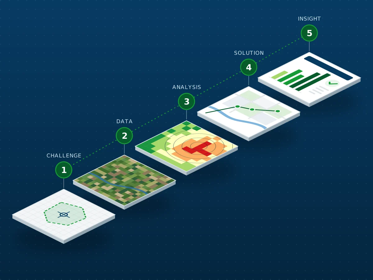
- Understand the challengeAgree the question, the area and the decision the work must support.
- Acquire and prepare dataSource, clean and document each dataset, including date, resolution and licence.
- Analyse and modelApply a transparent method and check accuracy where reference data exists.
- Develop geospatial solutionsBuild the maps, models, scripts or web applications the work requires.
- Deliver actionable insightsHand over outputs and a plain-language summary of findings and limitations.
Our values
Principles behind every project
Accuracy
Methods, sources and accuracy are documented so results can be checked.
Practicality
Outputs are shaped around the decision they need to support.
Quality
Data is checked at every step and limitations are stated plainly.
Clarity
Findings are explained in language non-specialists can use.
Client focus
Scope, progress and assumptions are agreed openly with each client.
Responsibility
Work that supports better planning and sustainable use of land and resources.
Our team
The people behind Spatial Nexus
Geospatial specialists who combine GIS, remote sensing, development and data science to deliver each project.
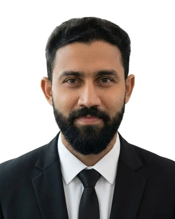
Abdul Haleem Khan
Managing Director
5 years of experience leading GIS, remote sensing and spatial analysis projects for clients in Pakistan and internationally.

Team member name
Senior GIS Analyst
Spatial databases, cartography and multi-criteria analysis.
Team member name
Remote Sensing Specialist
Satellite image processing, land-cover classification and change detection.
Team member name
Web GIS Developer
Interactive web maps, dashboards and geospatial web services.
Team member name
Geospatial Data Scientist
Python automation, Google Earth Engine and machine learning workflows.
Team member name
GIS and CAD Specialist
CAD-to-GIS integration, georeferencing and infrastructure mapping.
Testimonials
What our clients say
Spatial Nexus turned our scattered business and demographic data into a clear density map that our planning team could use straight away. Communication was excellent throughout.
The burn severity analysis was delivered on time, with a clear explanation of the method and its limitations. Exactly what we needed for our recovery report.
Their cartography is precise and professional. The map series made a complex classification comparison easy for non-specialists to understand.
We now see where our clients and staff are concentrated and plan service areas with confidence. A practical, business-focused GIS partner.
Industries we support
Urban planning
Land-use mapping, growth analysis and site selection for plans.
Infrastructure and engineering
CAD-GIS integration, asset and terrain data for design teams.
Environment and climate
Monitoring, watershed and climate-related spatial analysis.
Agriculture and natural resources
Vegetation condition, cropland and resource mapping.
Disaster risk management
Flood and drought susceptibility, post-event assessment.
Government and public sector
Spatial evidence for policy, services and registers.
Research and academia
Reproducible workflows and analysis support for studies.
Energy and utilities
Network, corridor and asset mapping for utilities.
Technology and innovation
Established tools, modern methods
We use proven GIS platforms alongside cloud processing, automation and machine learning where they improve speed, scale or consistency.