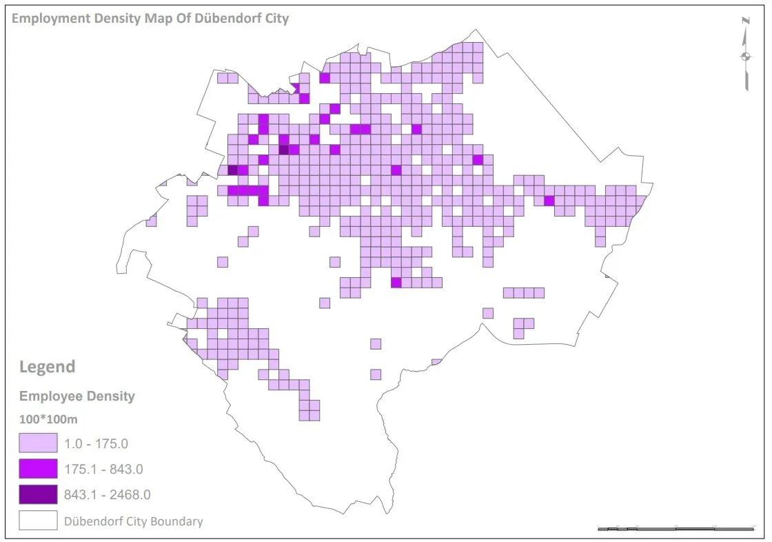
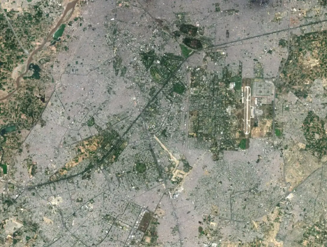
What the service involves
- Suitability analysis
- Network analysis
- Terrain analysis
- Spatial statistics
- Multi-criteria decision analysis
- Site selection

Problems it solves
- Choosing between candidate sites with competing criteria
- Understanding access to services
- Explaining a location decision to stakeholders
Typical applications
- Facility and service siting
- Catchment and travel-time analysis
- Hotspot analysis
- Corridor selection
Deliverables
- Suitability or ranking maps
- Criteria and weighting documentation
- Scenario comparisons
- Short decision report
Technologies
- ArcGIS Pro
- QGIS
- Network Analyst
- Python
Industries that benefit
- Urban planning
- Government and public sector
- Energy and utilities
- Agriculture and natural resources
How we deliver
- Understand the challenge. Agree the question, the area and the decision the work must support.
- Acquire and prepare data. Source, clean and document each dataset, including date, resolution and licence.
- Analyse and model. Apply a transparent method and check accuracy where reference data exists.
- Develop geospatial solutions. Build the maps, models, scripts or web applications the work requires.
- Deliver actionable insights. Hand over outputs and a plain-language summary of findings and limitations.
Related projects