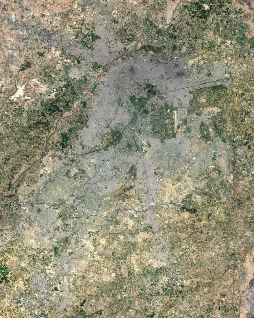
What the service involves
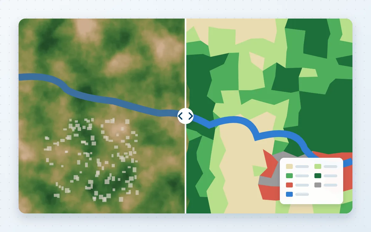
- Supervised and object-based classification
- Multi-date land-cover change
- Urban growth mapping
- Accuracy assessment
- Class scheme design
Problems it solves
- Outdated or inconsistent land-use maps
- Need to quantify urban expansion or vegetation loss
- Baseline needed for a plan or programme
Typical applications
- Regional and master plans
- Environmental impact baselines
- Agricultural land monitoring
- Research datasets
Deliverables
- Land-cover rasters and vectors
- Area statistics and change matrix
- Confusion matrix and accuracy figures
- Map series
Technologies
- Google Earth Engine
- ENVI
- ERDAS Imagine
- QGIS
Industries that benefit
- Urban planning
- Environment and climate
- Agriculture and natural resources
- Research and academia
How we deliver
- Understand the challenge. Agree the question, the area and the decision the work must support.
- Acquire and prepare data. Source, clean and document each dataset, including date, resolution and licence.
- Analyse and model. Apply a transparent method and check accuracy where reference data exists.
- Develop geospatial solutions. Build the maps, models, scripts or web applications the work requires.
- Deliver actionable insights. Hand over outputs and a plain-language summary of findings and limitations.