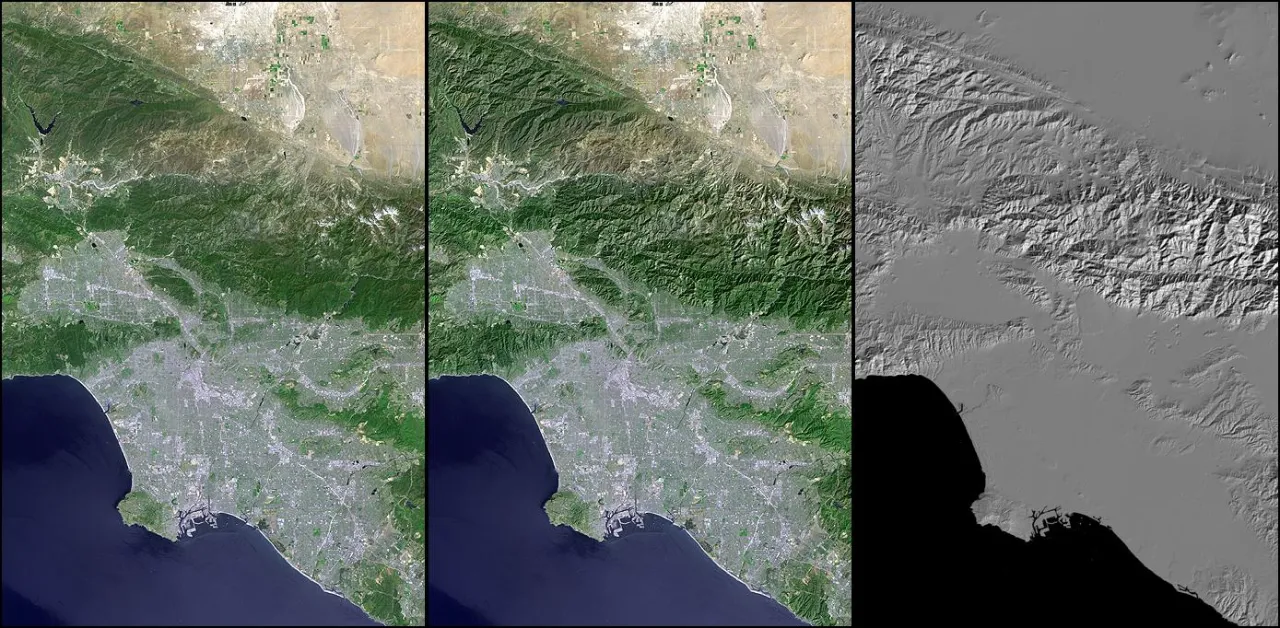
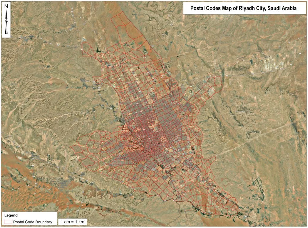
What the service involves
- Interactive web maps
- GIS dashboards
- Spatial data visualisation
- Web-based GIS applications
- Mapbox-based solutions
- Geographic information portals
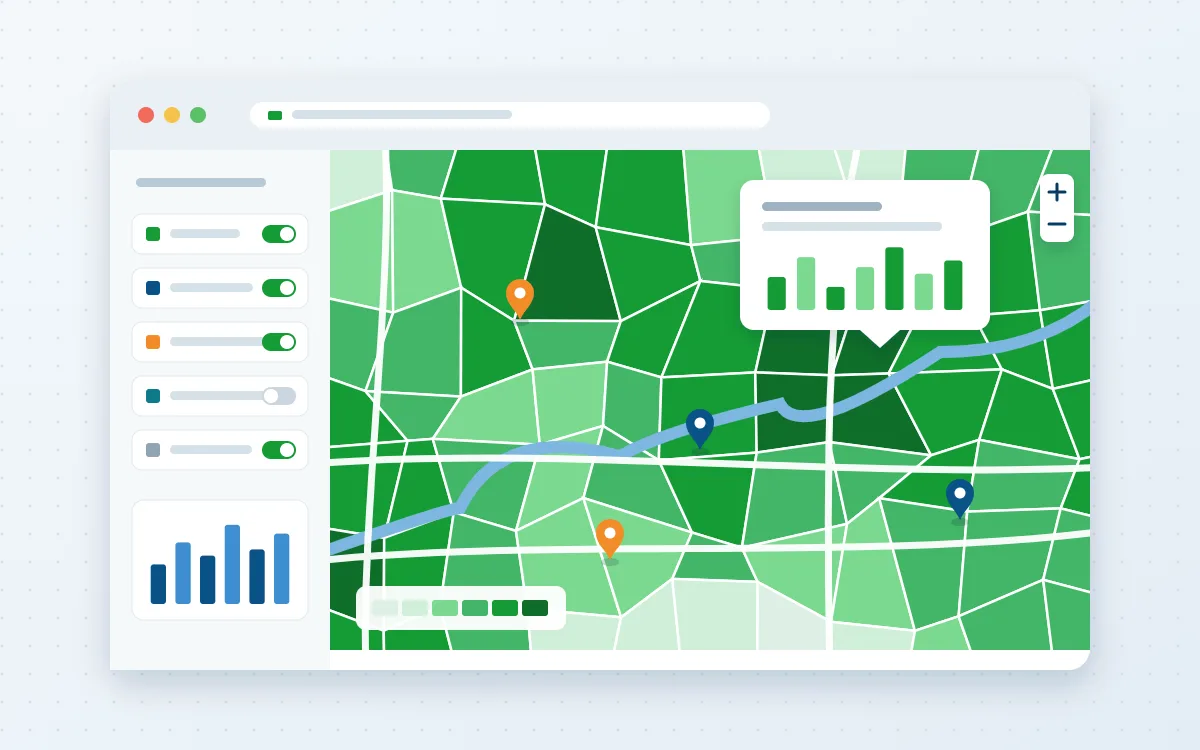
Problems it solves
- Results locked in desktop GIS files that stakeholders cannot open
- Static PDF maps that go out of date
- Teams that need a shared view of the same data
Typical applications
- Project and asset dashboards
- Public information maps
- Monitoring portals
- Story maps for reports
Deliverables
- Hosted web map or application
- Published data services
- Admin and update guide
- Source code where agreed
Technologies
- Mapbox
- Leaflet
- OpenLayers
- ArcGIS Online
- GeoServer
Industries that benefit
- Government and public sector
- Energy and utilities
- Infrastructure and engineering
- Environment and climate
How we deliver
- Understand the challenge. Agree the question, the area and the decision the work must support.
- Acquire and prepare data. Source, clean and document each dataset, including date, resolution and licence.
- Analyse and model. Apply a transparent method and check accuracy where reference data exists.
- Develop geospatial solutions. Build the maps, models, scripts or web applications the work requires.
- Deliver actionable insights. Hand over outputs and a plain-language summary of findings and limitations.