What the service involves
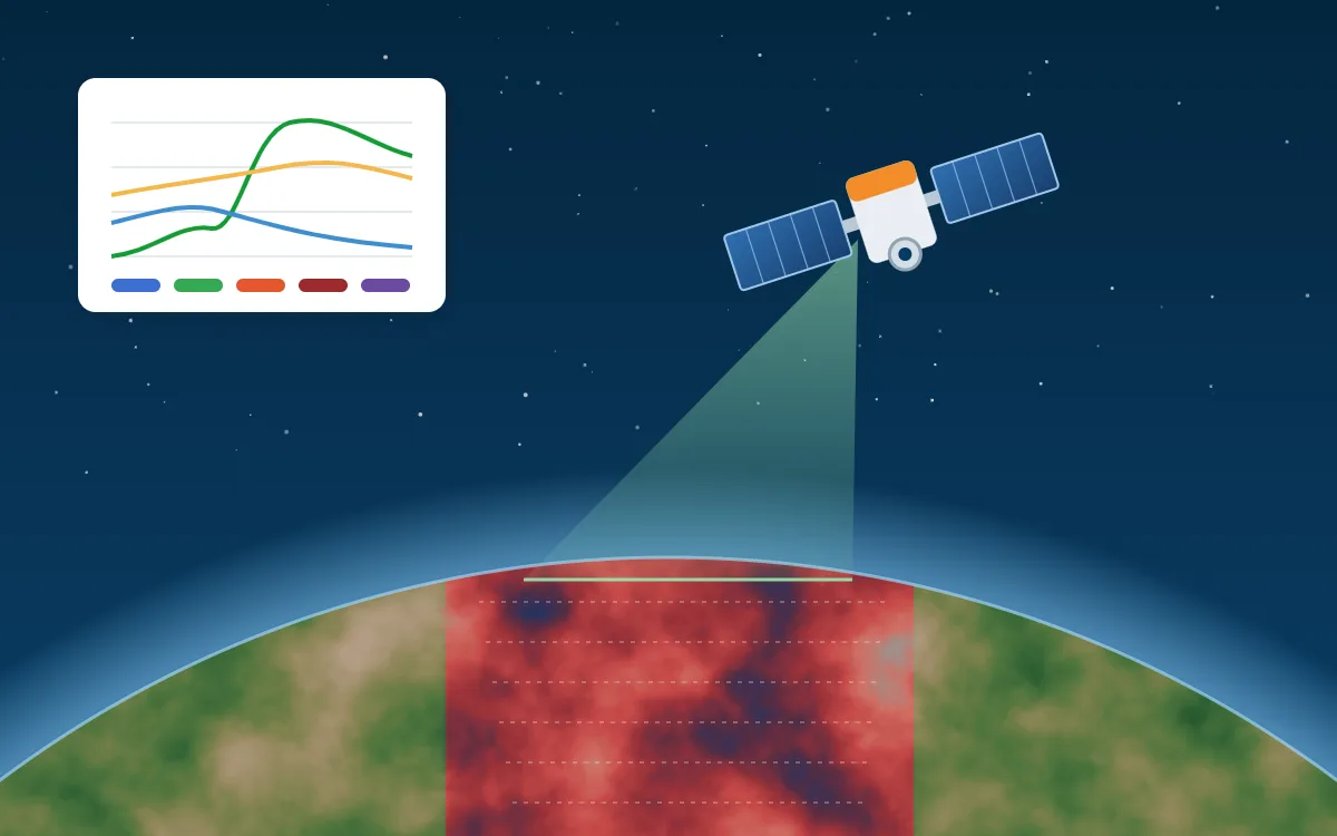
- Satellite image processing
- Land use and land cover mapping
- Change detection
- Vegetation analysis
- NDVI and vegetation monitoring
- Land surface temperature
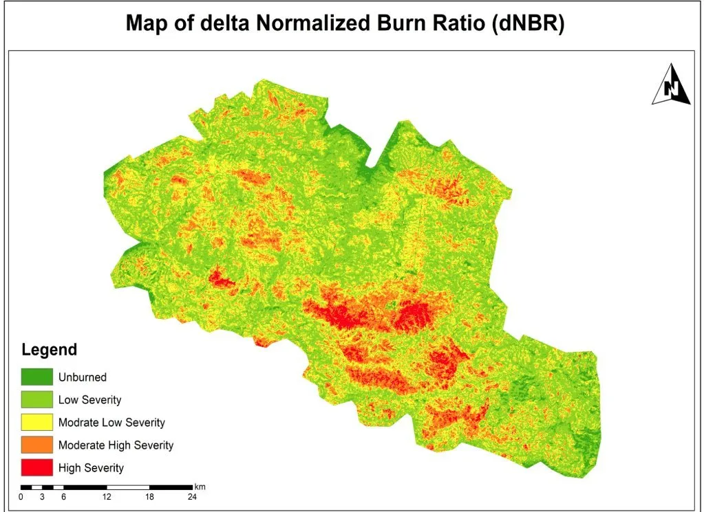
- Burn severity assessment
- Environmental monitoring
Problems it solves
- No current or consistent map of a large or remote area
- Need to measure change since a baseline year
- Field surveys that are too costly to repeat often
Typical applications
- Land-use plans and baselines
- Crop and vegetation condition
- Urban heat studies
- Post-fire and post-flood assessment
Deliverables
- Classified raster maps with legend
- Change statistics by class and area
- Accuracy assessment report
- Processed imagery and indices
Technologies
- ENVI
- ERDAS Imagine
- Google Earth Engine
- QGIS
- Python
Industries that benefit
- Environment and climate
- Agriculture and natural resources
- Disaster risk management
- Research and academia
How we deliver
- Understand the challenge. Agree the question, the area and the decision the work must support.
- Acquire and prepare data. Source, clean and document each dataset, including date, resolution and licence.
- Analyse and model. Apply a transparent method and check accuracy where reference data exists.
- Develop geospatial solutions. Build the maps, models, scripts or web applications the work requires.
- Deliver actionable insights. Hand over outputs and a plain-language summary of findings and limitations.