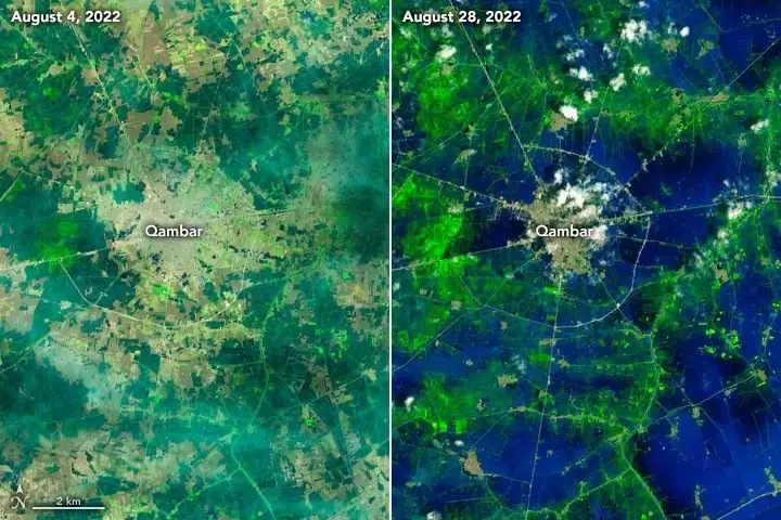
What the service involves
- Python-based geospatial workflows
- Geospatial data processing automation
- AI-assisted spatial analysis
- Machine learning applications
- Earth observation data analytics

Problems it solves
- Manual processing that takes days and invites errors
- Large image collections that need consistent classification
- Workflows that only one person knows how to run
Typical applications
- Batch data conversion and QA
- Object and feature extraction
- Land-cover classification models
- Scheduled reporting
Deliverables
- Tested Python scripts or toolboxes
- Trained model with evaluation metrics
- Run instructions and dependencies list
- Processed outputs
Technologies
- Python
- GeoPandas
- Rasterio
- scikit-learn
- ArcPy and PyQGIS
Industries that benefit
- Research and academia
- Infrastructure and engineering
- Energy and utilities
- Government and public sector
How we deliver
- Understand the challenge. Agree the question, the area and the decision the work must support.
- Acquire and prepare data. Source, clean and document each dataset, including date, resolution and licence.
- Analyse and model. Apply a transparent method and check accuracy where reference data exists.
- Develop geospatial solutions. Build the maps, models, scripts or web applications the work requires.
- Deliver actionable insights. Hand over outputs and a plain-language summary of findings and limitations.