
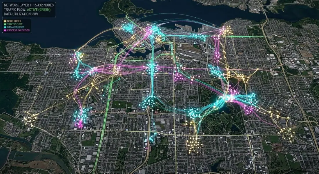
Featured · GeoAI
What Is GeoAI? How Artificial Intelligence Is Transforming GIS and Remote Sensing
GeoAI explained: how machine learning and deep learning analyse satellite imagery and spatial data, real-world applications, key challenges and how organisations can get started.
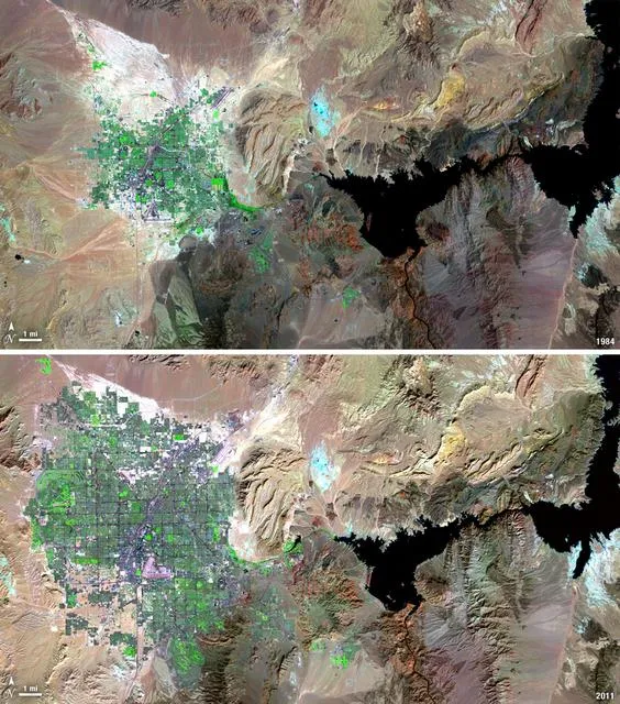
Satellite Change Detection: Methods, Accuracy and Real-World Applications
How satellite change detection works, which methods to use, where errors come from, and how indices such as NBR and dNBR turn imagery into measurable change.
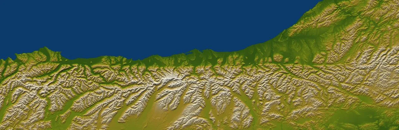
How to Choose the Right Coordinate Reference System (CRS) for GIS Projects
A practical guide to coordinate reference systems, map projections, UTM and WGS 84, and how the right CRS keeps distance, area and network analysis accurate.
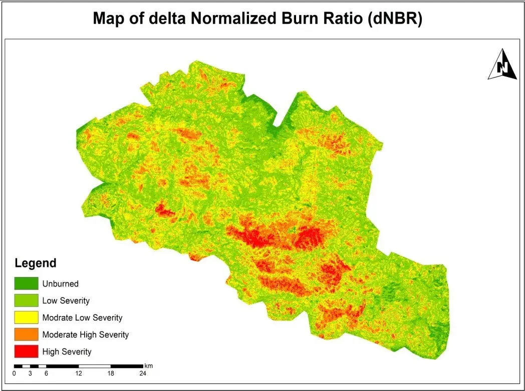
NDVI Explained: How Satellite Vegetation Indices Monitor Crops, Forests and Fire Recovery
What NDVI measures, how it is calculated from Sentinel-2 and Landsat bands, how to interpret values, and how vegetation indices support agriculture and post-fire monitoring.

Interactive Web GIS Maps vs Static PDF Maps: Which Is Right for Your Project?
When to choose an interactive web map or GIS dashboard instead of a static PDF, the benefits for clients and stakeholders, and how to plan a web GIS application.

Google Earth Engine Explained: Cloud-Based Satellite Analysis for Faster Geospatial Insights
What Google Earth Engine is, how it processes decades of satellite imagery in the cloud, common use cases, and how organisations can use it for monitoring and analysis.
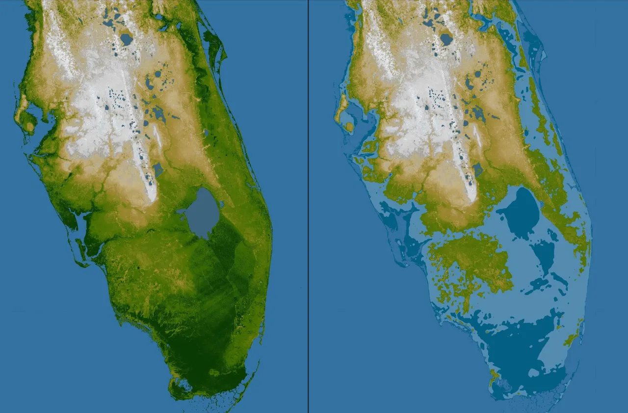
Flood Risk Mapping with GIS and Remote Sensing: Methods, Data and Best Practice
How GIS and satellite imagery are used to map flood extent, susceptibility and risk, the data needed, common methods and how results support disaster risk reduction.
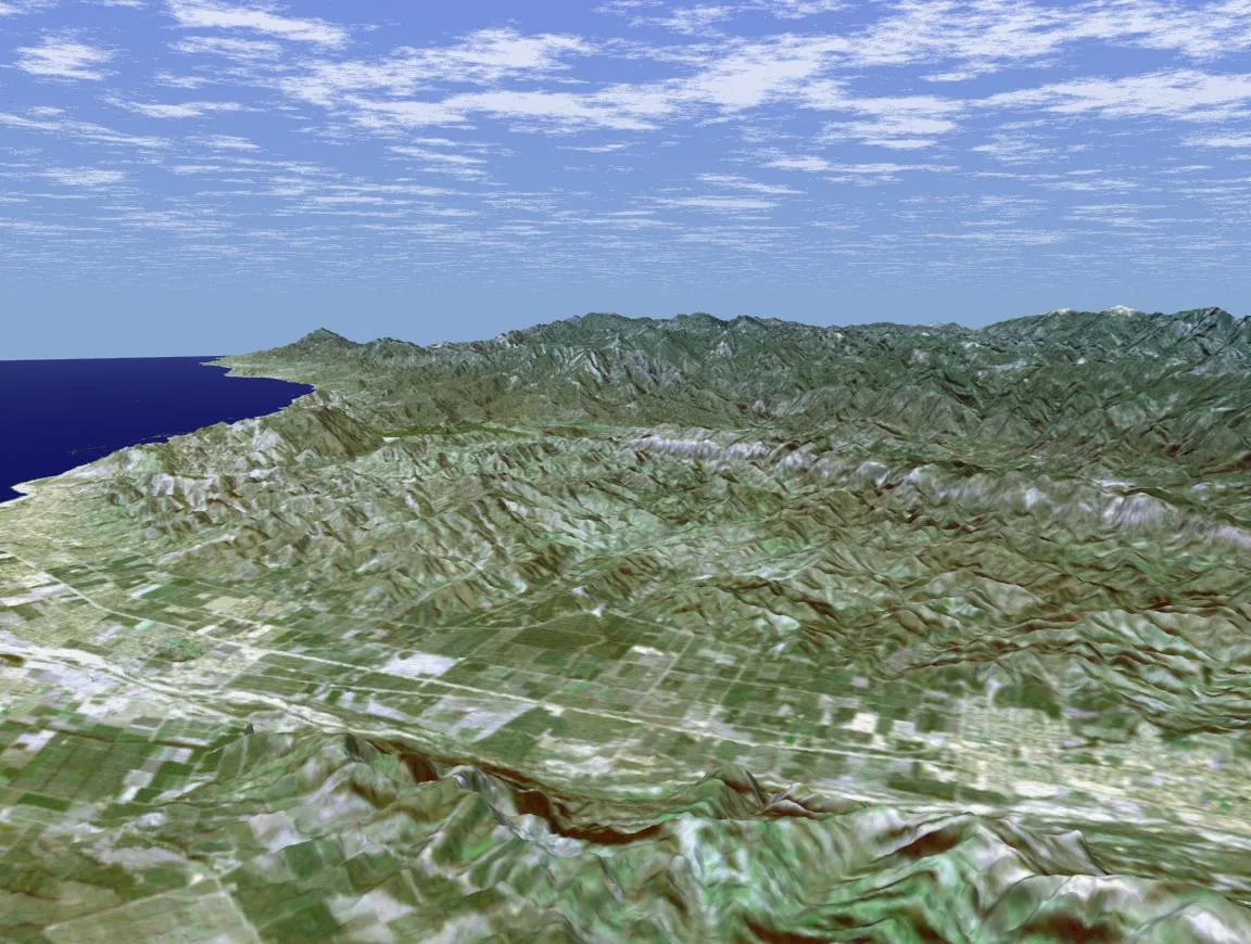
GIS Site Selection: How Multi-Criteria Analysis Finds the Best Location
How GIS site selection and multi-criteria decision analysis (MCDA) combine access, terrain, land use and constraints to identify the most suitable locations.
What Is GeoAI? How Artificial Intelligence Is Transforming GIS and Remote Sensing
GeoAI explained: how machine learning and deep learning analyse satellite imagery and spatial data, real-world applications, key challenges and how organisations can get started.
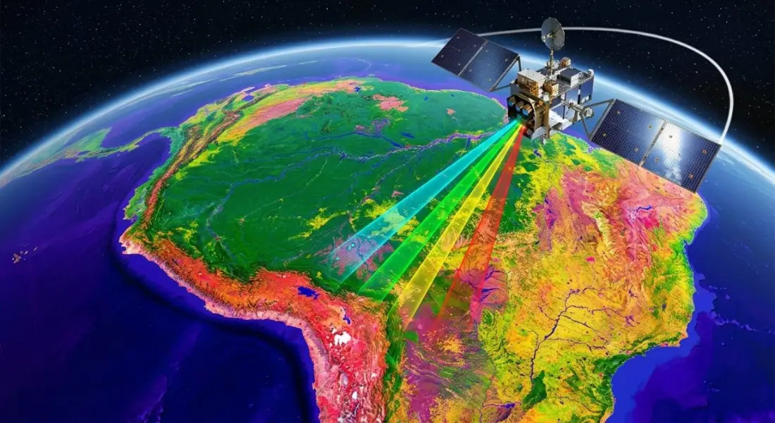
What Is Remote Sensing? How Satellites Observe the Earth and Why It Matters
A clear introduction to remote sensing and Earth observation: active and passive sensors, spectral bands, Landsat and Sentinel satellites, and real-world applications.
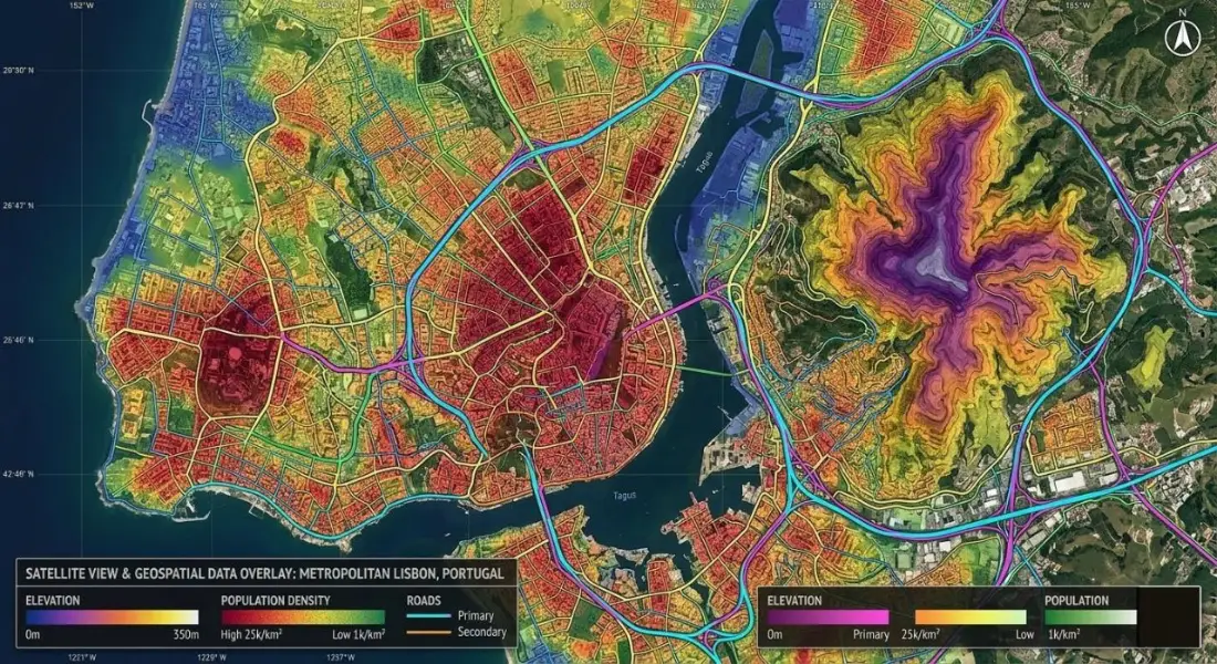
What Is GIS? A Complete Beginner’s Guide to Geographic Information Systems
What GIS is, how geographic information systems work, the difference between spatial and attribute data, popular GIS software, and how industries use GIS mapping.

Geospatial Intelligence for Environmental and Infrastructure Planning
How GIS and remote sensing support climate monitoring, conservation, water and pollution management, urban planning, disaster risk reduction and the Sustainable Development Goals.