
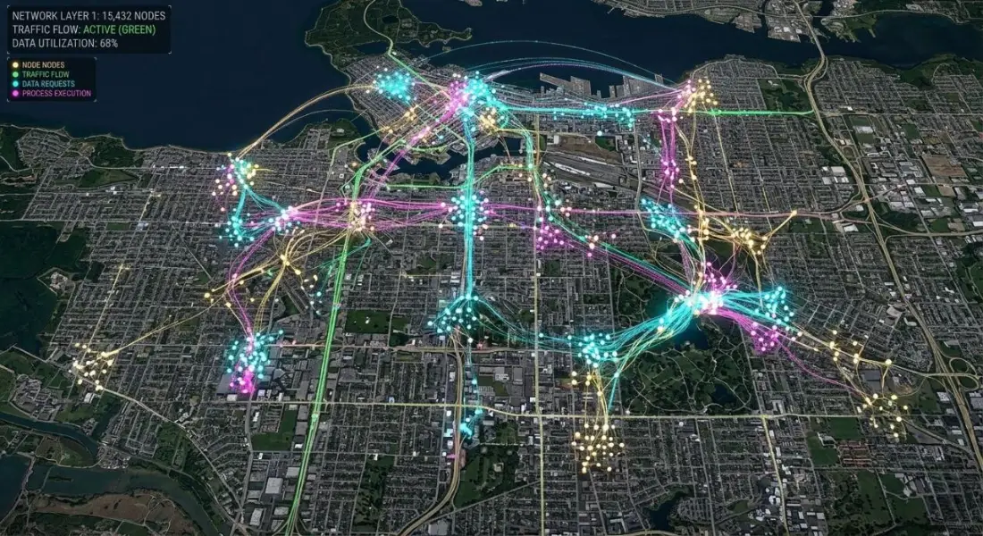
Key takeaways
- GeoAI applies machine learning and deep learning to geographic data, so models learn patterns from examples rather than following rules an analyst writes.
- Classic machine learning, such as Random Forest, still handles most land-cover and classification work well.
- Deep learning is worth it for object detection and segmentation in high-resolution imagery, such as buildings, roads and solar panels.
- Training data quality decides the result. In fact, most of the effort in a GeoAI project goes into labelling and validation.
- A model that works in one region often fails in another. Test on independent areas before trusting it at scale.
For example, mapping every building in a city used to mean months of manual digitising. Classifying land cover for a province meant an analyst drawing training polygons for weeks and then checking the result field by field. GeoAI does not remove that work entirely, but it changes its shape. In contrast, a model trained on good examples can apply what it has learned across thousands of square kilometres in hours, leaving people to focus on preparing training data, checking results and deciding what to do with them.
This guide explains what GeoAI is, the methods behind it, where it is already proving useful, how a typical project runs, the tools involved and the challenges you should plan for.
What is GeoAI?
GeoAI, or geospatial artificial intelligence, is the use of machine learning and deep learning on geographic data: satellite and aerial imagery, LiDAR point clouds, GPS tracks, street-level photos and spatial databases. Instead of writing rules by hand, you give the model labelled examples and let it learn the patterns that separate one class or object from another.
The term covers a wide range of methods, from a Random Forest classifier running in Google Earth Engine to a deep neural network detecting individual trees in drone imagery. However, what they share is that the quality of the output depends heavily on the quality and representativeness of the examples used to train them.
The main GeoAI methods
Classic machine learning
Algorithms such as Random Forest, gradient boosting (XGBoost, LightGBM) and support vector machines classify pixels or objects based on their spectral values, indices, texture and terrain. In general, they train quickly, need modest amounts of data and are easy to run at scale. Consequently, they remain the workhorse for land-cover mapping from Sentinel-2 or Landsat.
Deep learning for imagery
Convolutional neural networks learn spatial patterns, such as shapes, edges and textures, as well as spectral ones. The main task types are:
| Task | Output | Typical models | Example |
| Image classification | One label per image tile | ResNet, EfficientNet | Is this tile urban or rural? |
| Semantic segmentation | A class for every pixel | U-Net, DeepLab | Map water, roads, crops |
| Object detection | Boxes around objects | YOLO, Faster R-CNN | Count vehicles, ships, storage tanks |
| Instance segmentation | Outline of each object | Mask R-CNN, SAM | Building footprints, field boundaries |
| Change detection | Changed pixels or objects | Siamese networks | New construction between two dates |
Foundation models
Large models pretrained on vast amounts of imagery can be adapted to new tasks with relatively few labels. Segment Anything, adapted through tools such as segment-geospatial, is useful for outlining objects. Earth observation foundation models such as Prithvi are pretrained on satellite time series. They are a promising shortcut, though they still need careful local testing.
Spatial machine learning beyond imagery
GeoAI also covers non-image data: predicting property values from location features, modelling disease risk, forecasting demand by area or clustering customers. These models need care with spatial autocorrelation, because nearby observations are not independent, and random train-test splits can make performance look far better than it is.
Real-world GeoAI applications
Disaster response
Models compare before-and-after imagery to map flooded areas, damaged buildings and burned land quickly. Our automated flood water detection project uses machine learning on satellite imagery to reduce manual thresholding, and burn severity methods such as NBR and dNBR, used in our wildfire assessment, are increasingly combined with classifiers to automate damage mapping.
Land cover and land use
Random Forest and deep learning models classify cropland, forest, water and built-up land at national scale. Global products such as ESA WorldCover and Google's Dynamic World are built this way and are useful starting points for local mapping.
Buildings and infrastructure
Segmentation models extract building footprints, roads and solar panels from high-resolution imagery, keeping city datasets current. Open datasets such as Google Open Buildings and Microsoft's global building footprints were produced with deep learning.
Agriculture
Crop-type classification from Sentinel-2 time series, field boundary extraction, early stress detection and yield estimation from vegetation indices and weather data.
Environmental monitoring
Deforestation alerts, mapping of mining and illegal dumping, wetland change and glacier retreat, all over long time series.
Location intelligence
Combining spatial data with business information to find patterns in customers, staff or sales. The client and workforce distribution mapping we produced in Switzerland is the kind of dataset that clustering and predictive models can build on.
How a GeoAI project runs
- Define the question and the output. "Map all greenhouses in the district as polygons with 90 percent accuracy" is a usable goal; "use AI on our imagery" is not.
- Choose the imagery. Match resolution to the target. Greenhouses need about 1 m or better; crop types can work at 10 m with a time series.
- Collect and label training data. Draw examples of each class or object across the full range of conditions: different seasons, terrain, building styles and image quality.
- Set aside independent test areas. Keep some regions completely separate from training, so you can measure how well the model generalises.
- Train and tune. Start simple. Try Random Forest before deep learning, and a pretrained network before training from scratch.
- Validate. Report precision, recall and F1 for detection tasks, or a confusion matrix with producer's and user's accuracy for classification. Then inspect errors on the map, not just in the numbers.
- Post-process. Clean outputs in GIS: remove tiny fragments, regularise building outlines, attach attributes.
- Deploy and monitor. Automate the workflow for new imagery and keep checking a sample of outputs, because conditions change.
GeoAI vs traditional GIS
Rule-based GIS is transparent and works well when the rules are known: buffers, overlays, network distances. GeoAI is stronger when patterns are too complex to write as rules, such as recognising a building from its shape, shadow and texture, or when the volume of data is too large for manual interpretation. Most successful projects use both. GIS defines the study area, prepares inputs, checks and cleans outputs and presents the results; the model does the pattern recognition in between.
Challenges GeoAI still needs to solve
- Training data. To begin with, good labels are slow and expensive to create. Poor or inconsistent labels lead to poor models, however advanced the architecture.
- Transferability. In addition, a model trained on one city, season or sensor often performs poorly elsewhere. After all, rural Punjab does not look like suburban Europe.
- Spatial autocorrelation. Similarly, random train-test splits can leak information between neighbouring samples and inflate accuracy. Spatial cross-validation gives a more honest estimate.
- Explainability. Decision-makers need to understand why a model labelled something. Therefore, feature importance, attention maps and careful error analysis help.
- Accuracy reporting. Outputs must be tested against independent reference data and the results published alongside the map.
- Compute and skills. Deep learning needs GPUs and specialist knowledge, although cloud services have made both more accessible.
How to start using GeoAI
You do not need a research lab. A practical path is to pick one well-defined problem, use free Sentinel-2 or Landsat imagery or imagery you already own, prototype with Random Forest in Google Earth Engine or Python, and validate carefully on a pilot area before scaling up. If the simple approach is not accurate enough, that is the point to bring in deep learning.
Our GeoAI and geospatial automation team helps clients design these pilots, prepare training data, build and validate models, and turn them into workflows that run on new imagery automatically.
Frequently asked questions
How is GeoAI different from traditional GIS?
Traditional GIS analysis follows explicit rules that an analyst defines, such as buffering roads by 100 m or selecting parcels inside a zone. GeoAI learns patterns from labelled examples, for instance thousands of outlined buildings, and then finds similar patterns in new data. In practice the two are combined: GIS prepares and checks the data and presents the results, while the model handles classification, detection or prediction.
What software is used for GeoAI?
Python is the main language, with scikit-learn for machine learning, PyTorch or TensorFlow for deep learning, and geospatial libraries such as GeoPandas, rasterio, TorchGeo and segment-geospatial. ArcGIS Pro includes deep learning tools and pretrained models, QGIS has plugins for classification, and Google Earth Engine runs classifiers such as Random Forest directly on satellite archives.
Is GeoAI only for large organisations?
No. Free imagery, open-source libraries, pretrained models and cloud platforms mean a small team can run useful GeoAI projects. Instead, the key requirement is a clear question and enough good-quality reference data to train and test a model. Starting with a pilot area keeps the cost low while the approach is proven.
What skills are needed to work in GeoAI?
A solid base in GIS and remote sensing, Python programming, an understanding of machine learning concepts such as training, validation and overfitting, and the ability to judge whether a map makes sense on the ground. Domain knowledge, such as agriculture, hydrology or urban planning, is often what separates a useful model from a technically impressive but misleading one.
Can I use foundation models for satellite imagery?
Yes, and they are improving quickly. Models such as Meta's Segment Anything, adapted for geospatial use, and Earth observation foundation models such as NASA and IBM's Prithvi can be fine-tuned with fewer labels than training from scratch. They still need local validation, and for many routine tasks a well-trained Random Forest on Sentinel-2 remains simpler and just as accurate.
Related articles
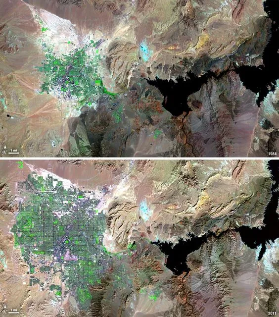
Satellite Change Detection: Methods, Accuracy and Real-World Applications
How satellite change detection works, which methods to use, where errors come from, and how indices such as NBR and dNBR turn imagery into measurable change.
How to Choose the Right Coordinate Reference System (CRS) for GIS Projects
A practical guide to coordinate reference systems, map projections, UTM and WGS 84, and how the right CRS keeps distance, area and network analysis accurate.
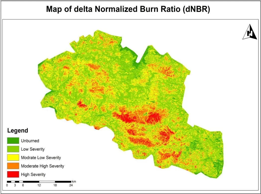
NDVI Explained: How Satellite Vegetation Indices Monitor Crops, Forests and Fire Recovery
What NDVI measures, how it is calculated from Sentinel-2 and Landsat bands, how to interpret values, and how vegetation indices support agriculture and post-fire monitoring.