About this project
Project overview
Example workflow showing how Spatial Nexus approaches this type of analysis.
Asset layers published to a browser-based map with filters and summary panels.
This page shows a typical Spatial Nexus workflow for this type of analysis.
- GIS dashboard
- infrastructure asset mapping
- web GIS development
- utility asset management
- PostGIS Mapbox
Project at a glance
- Sector
- Location Intelligence
- Software
- Mapbox, PostGIS, Trimble, Garmin
THE CHALLENGE
What needed solving
- Asset data was spread across files and hard to share.
- Managers needed a live overview without GIS software.
OBJECTIVES
What the project set out to do
- Structure asset data for publishing.
- Build a browser-based map with filters and summaries.
Methodology
Our workflow, step by step
01
Data model
Structure asset attributes for publishing.
02
Services
Publish layers as web services.
03
Interface
Build map, filters and summary panels.
04
Handover
Document how to update data.
Visual output
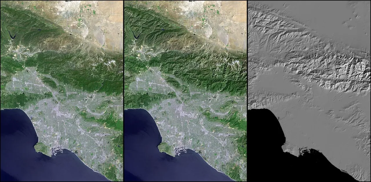
The map
Select the image to view it at full size.
Results
What the analysis delivered
- Interactive asset web map.
- Filters and summary panels for decision-making.
Key highlights
Why this project stands out
- Data model
- Services
- Interface
- Handover
Data sources
Data used
- Asset location and attribute records
- Base maps
Tools and technologies
Software and methods
Mapbox
PostGIS
Trimble
Garmin
Deliverables
What the client received
- Hosted web map or application
- Published data services
- Admin and update guide
- Source code where agreed
FAQ
Questions about this project
Which platforms can be used?
Mapbox, Leaflet, ArcGIS Online or GeoServer, depending on requirements.
Can access be restricted?
Yes. Dashboards can require login and role-based access.
Related projects