About this project
Project overview
Example workflow showing how Spatial Nexus approaches this type of analysis.
Classification of two satellite dates to map where vegetation, cropland and built-up land changed.
This page shows a typical Spatial Nexus workflow for this type of analysis.
- land cover change mapping
- LULC classification
- Google Earth Engine land cover
- remote sensing change detection
- regional land use planning
Project at a glance
- Sector
- Remote Sensing
- Software
- Google Earth Engine, QGIS, Python, ERDAS IMAGINE, ENVI, ArcGIS Pro
THE CHALLENGE
What needed solving
- Land-use plans need evidence of how land cover has changed.
- Manual interpretation of large areas is slow and inconsistent.
OBJECTIVES
What the project set out to do
- Classify land cover for two dates.
- Quantify change between classes.
- Report accuracy transparently.
Methodology
Our workflow, step by step
01
Pre-processing
Cloud masking and compositing for each date.
02
Classification
Supervised classification into agreed land-cover classes.
03
Accuracy assessment
Confusion matrix against independent reference points.
04
Change analysis
Cross-tabulation of classes between the two dates.
Visual output
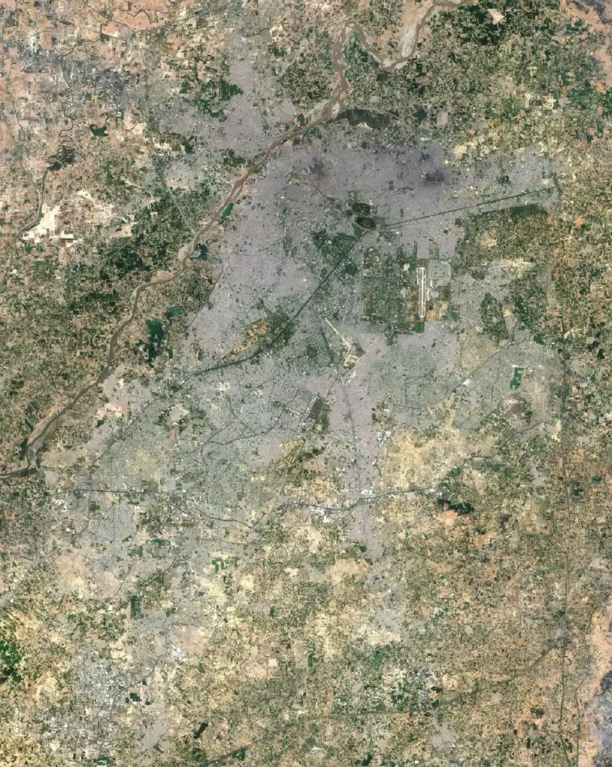
The map
Select the image to view it at full size.
Results
What the analysis delivered
- Land-cover maps for each date.
- A from–to change matrix with area statistics.
- Accuracy assessment with confusion matrix.
Key highlights
Why this project stands out
- Pre-processing
- Classification
- Accuracy assessment
- Change analysis
Data sources
Data used
- Landsat or Sentinel-2 imagery for two dates
- Reference samples for training and validation
Tools and technologies
Software and methods
Deliverables
What the client received
- Land-cover rasters and vectors
- Area statistics and change matrix
- Confusion matrix and accuracy figures
- Map series
FAQ
Questions about this project
Which classes are mapped?
Classes are agreed with the client, typically water, vegetation, cropland, bare land and built-up areas.
How is accuracy measured?
With independent reference samples and a confusion matrix reporting overall and per-class accuracy.
Related projects