What the service involves
- Spatial database development
- GIS data management
- Vector and raster analysis
- Spatial modelling
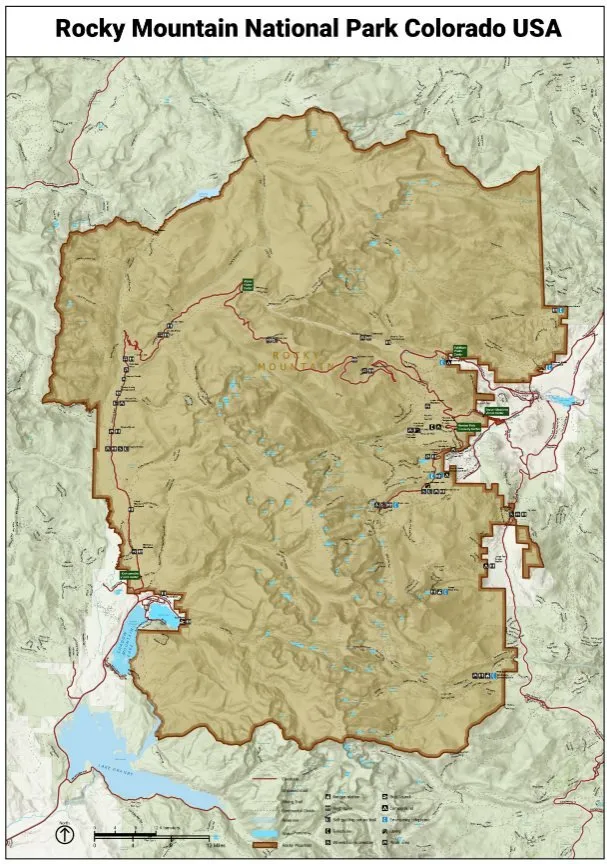
- Cartography and map production
- GIS automation
- Geospatial data quality control
Problems it solves
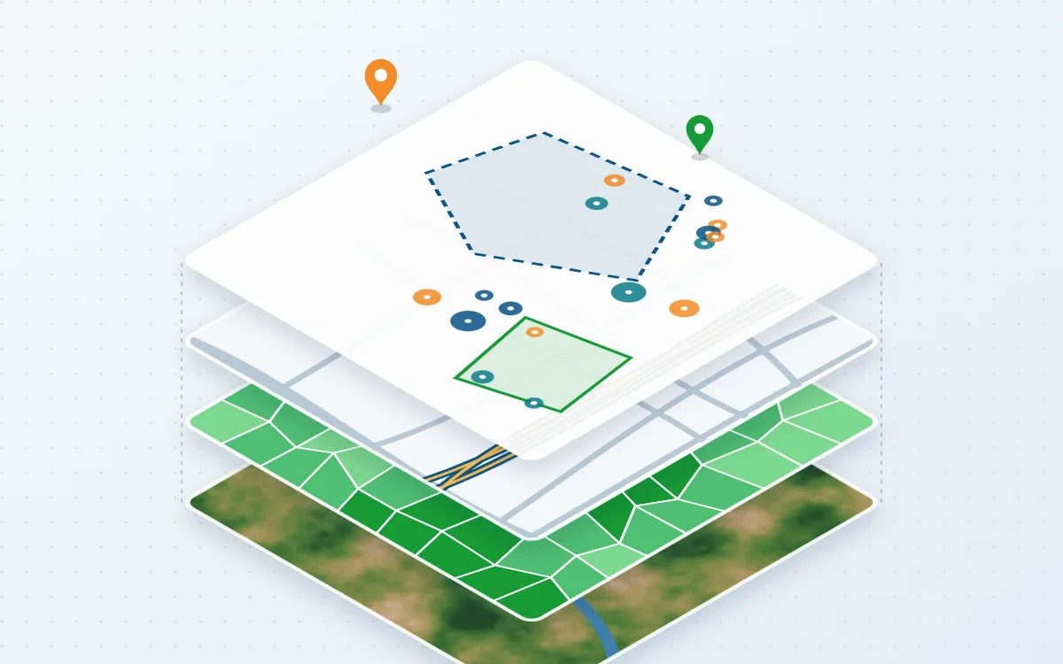
- Spatial data held in scattered spreadsheets, drawings and files
- Layers in different coordinate systems that do not line up
- Maps that are hard to update or inconsistent between reports
Typical applications
- Asset and land registers
- Planning and feasibility studies
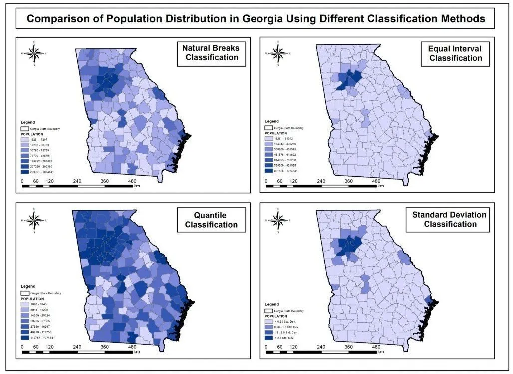
- Thematic and atlas mapping
- Data preparation for web maps
Deliverables
- Structured geodatabase or GeoPackage
- Documented data model and metadata
- Print-ready and digital maps
- Analysis layers and summary tables
Technologies
- ArcGIS Pro
- QGIS
- PostGIS
- Python
Industries that benefit
- Government and public sector
- Urban planning
- Infrastructure and engineering
- Research and academia
How we deliver
- Understand the challenge. Agree the question, the area and the decision the work must support.
- Acquire and prepare data. Source, clean and document each dataset, including date, resolution and licence.
- Analyse and model. Apply a transparent method and check accuracy where reference data exists.
- Develop geospatial solutions. Build the maps, models, scripts or web applications the work requires.
- Deliver actionable insights. Hand over outputs and a plain-language summary of findings and limitations.
Related projects