What the service involves
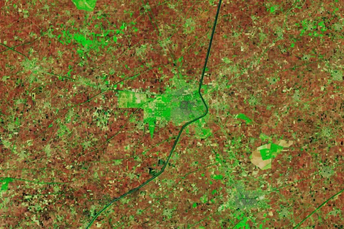
- Satellite data processing
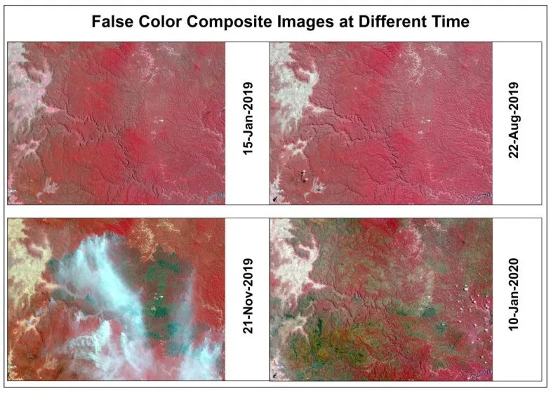
- Time-series analysis
- Environmental monitoring
- Large-scale geospatial analysis
- Automated remote sensing workflows
Problems it solves
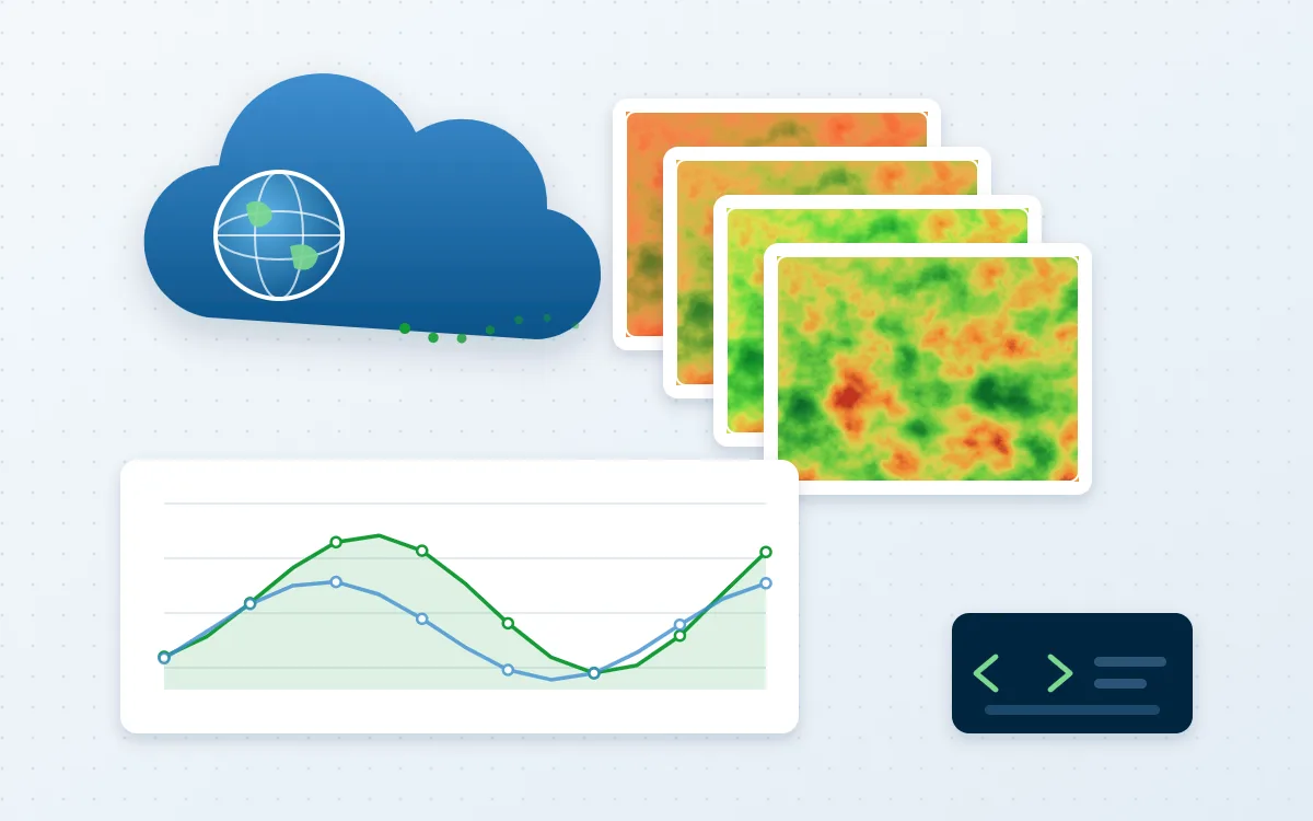
- Study areas too large to process on a desktop
- Need for multi-year trends rather than a single snapshot
- Analysis that must be repeated every season or year
Typical applications
- Vegetation and drought trends
- Surface water mapping
- National or provincial land-cover composites
- Monitoring apps
Deliverables
- Documented Earth Engine scripts
- Exported rasters and charts
- Earth Engine app where useful
- Method note
Technologies
- Google Earth Engine
- JavaScript API
- Python API
- Sentinel and Landsat archives
Industries that benefit
- Environment and climate
- Agriculture and natural resources
- Research and academia
- Disaster risk management
How we deliver
- Understand the challenge. Agree the question, the area and the decision the work must support.
- Acquire and prepare data. Source, clean and document each dataset, including date, resolution and licence.
- Analyse and model. Apply a transparent method and check accuracy where reference data exists.
- Develop geospatial solutions. Build the maps, models, scripts or web applications the work requires.
- Deliver actionable insights. Hand over outputs and a plain-language summary of findings and limitations.