What the service involves
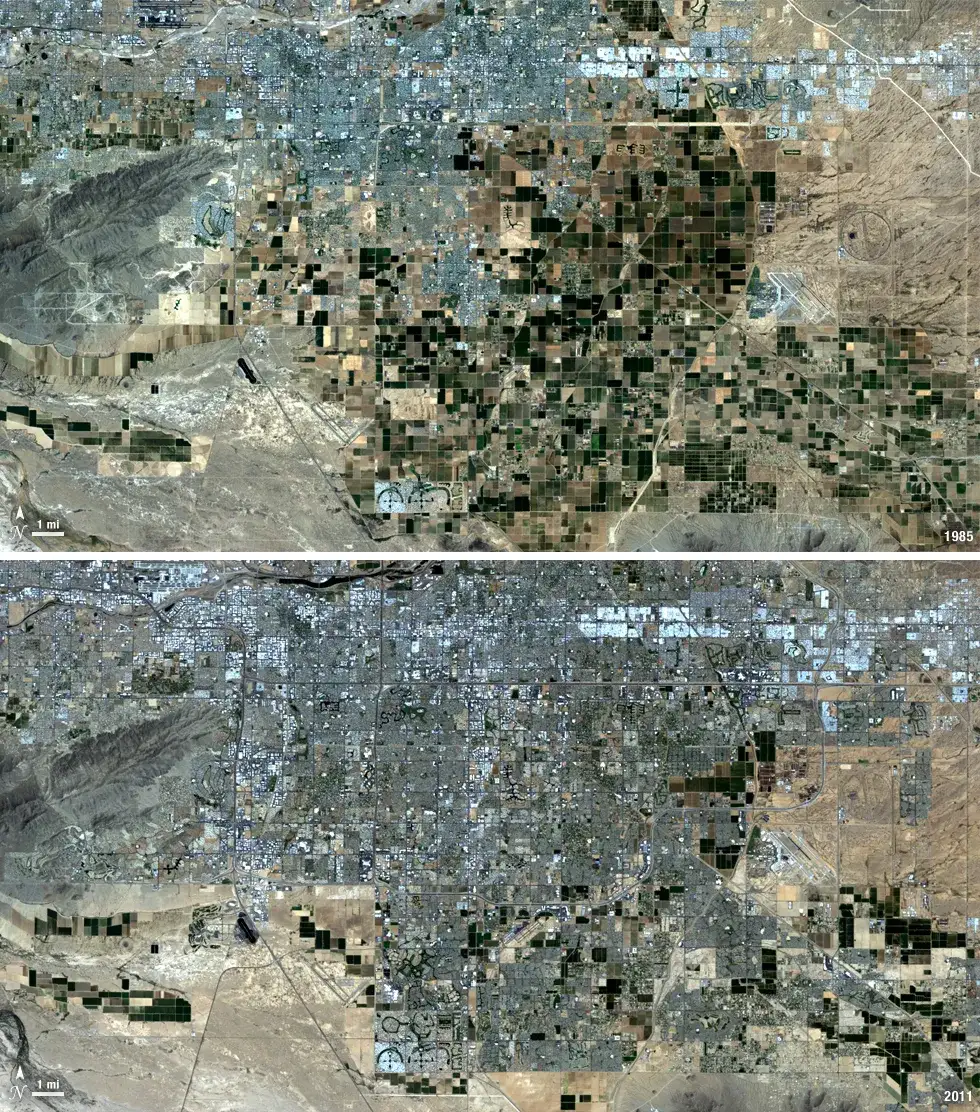
- Infrastructure mapping
- CAD-to-GIS integration
- Utility mapping
- Asset mapping
- Land and property mapping
- Terrain and elevation analysis
- Engineering-related geospatial support
Problems it solves
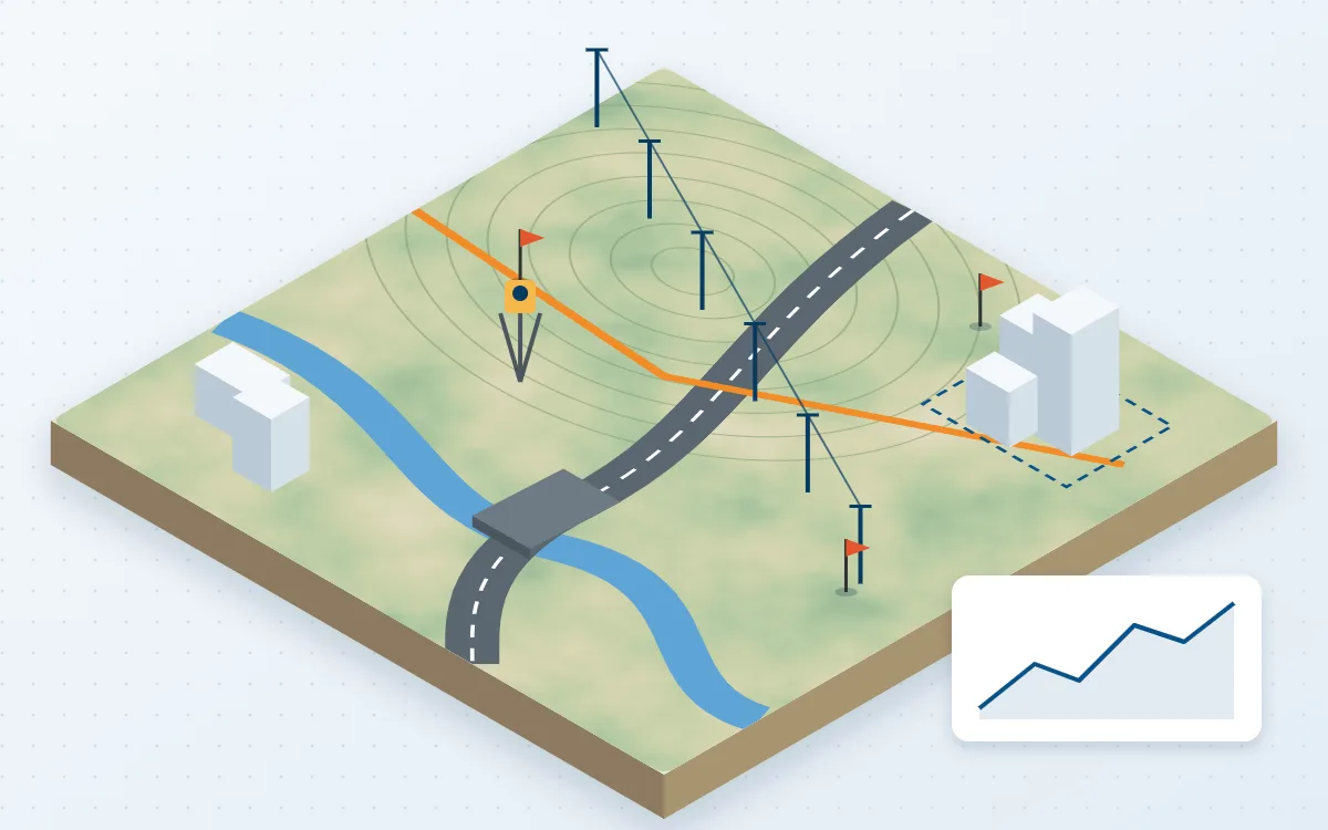
- CAD drawings with no real-world coordinates
- Asset records that do not match what is on the ground
- Design teams needing slope, contour or cut-and-fill context
Typical applications
- Utility network mapping
- Road and pipeline corridors
- Parcel and cadastral mapping
- Early-stage design terrain
Deliverables
- Georeferenced, attributed GIS layers
- Contours, slope and hillshade
- Asset register linked to the map
- CAD and GIS exchange files
Technologies
- AutoCAD
- ArcGIS Pro
- QGIS
- Global Mapper
Industries that benefit
- Infrastructure and engineering
- Energy and utilities
- Urban planning
- Government and public sector
How we deliver
- Understand the challenge. Agree the question, the area and the decision the work must support.
- Acquire and prepare data. Source, clean and document each dataset, including date, resolution and licence.
- Analyse and model. Apply a transparent method and check accuracy where reference data exists.
- Develop geospatial solutions. Build the maps, models, scripts or web applications the work requires.
- Deliver actionable insights. Hand over outputs and a plain-language summary of findings and limitations.