About this project
Project overview
Example workflow showing how Spatial Nexus approaches this type of analysis.
Engineering drawings georeferenced and converted into attributed GIS features.
This page shows a typical Spatial Nexus workflow for this type of analysis.
- CAD to GIS conversion
- georeferencing
- infrastructure GIS
- utility mapping
- AutoCAD ArcGIS integration
Project at a glance
- Sector
- Infrastructure
- Software
- AutoCAD, ArcGIS Pro, ArcMap, Global Mapper, Trimble, Leica
THE CHALLENGE
What needed solving
- Engineering drawings were in CAD with no coordinate system.
- Assets could not be analysed alongside other spatial data.
OBJECTIVES
What the project set out to do
- Georeference CAD drawings.
- Convert features into attributed GIS layers.
Methodology
Our workflow, step by step
01
Review
Check drawing layers, units and coordinate references.
02
Georeference
Align drawings to control points.
03
Convert
Convert to features and attach attributes.
04
QA
Topology and attribute checks.
Visual output
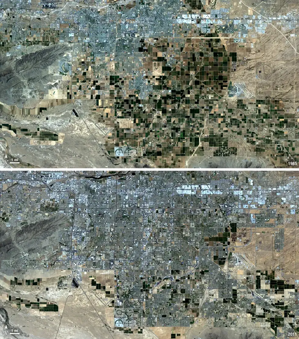
The map
Select the image to view it at full size.
Results
What the analysis delivered
- Georeferenced, attributed asset layers.
- CAD and GIS exchange files.
Key highlights
Why this project stands out
- Review
- Georeference
- Convert
- QA
Data sources
Data used
- AutoCAD drawings
- Survey control points
- Satellite base imagery
Tools and technologies
Software and methods
AutoCAD
ArcGIS Pro
ArcMap
Global Mapper
Trimble
Leica
Deliverables
What the client received
- Georeferenced, attributed GIS layers
- Contours, slope and hillshade
- Asset register linked to the map
- CAD and GIS exchange files
FAQ
Questions about this project
What is georeferencing?
Assigning real-world coordinates to drawings or images so they align with other spatial data.
Can GIS data be returned to CAD?
Yes. Layers can be exported back to DWG or DXF.
Related projects