Spatial Nexus: GIS, Remote Sensing and Geospatial Consultancy

Based in LahoreServing clients worldwide
About Spatial Nexus
Spatial Nexus is a geospatial consultancy providing professional geospatial solutions to organisations, businesses, infrastructure developers, researchers, government institutions and environmental organisations. Our services include:
- Geographic Information Systems
- Remote Sensing and Earth Observation
- Web GIS and Interactive Mapping
- Google Earth Engine
- GeoAI and Geospatial Automation
- Spatial Analysis and Modelling
- Infrastructure and Engineering GIS
- Environmental and Climate Analysis
We combine geographic information systems, Earth observation, spatial analytics and modern geospatial technologies to turn complex geographic data into information that supports better decisions. Based in Lahore, Pakistan, we deliver projects for clients worldwide.
Our Services
Use one service or combine several into a single workflow, from data preparation to published maps.
Geographic Information Systems (GIS)
Spatial databases, data management, analysis and cartography.
Remote Sensing and Earth Observation
Satellite image processing, change detection and environmental indices.
Web GIS and Interactive Mapping
Interactive web maps, dashboards and map portals.
Google Earth Engine
Cloud processing of satellite archives and time series.
GeoAI and Geospatial Automation
Python workflows, machine learning and automated processing.
Spatial Analysis and Modelling
Suitability, network, terrain and multi-criteria analysis.
Infrastructure and Engineering GIS
CAD-to-GIS integration, utility, asset and terrain mapping.
Environmental and Climate Analysis
Watersheds, flood susceptibility, drought and land degradation.
Land Use and Land Cover Mapping
Classified maps of land cover and how it changes.
Why choose Spatial Nexus
Our Core Values
Every project follows a transparent method, from understanding the challenge to delivering insights that decision-makers can act on.
Accuracy
Methods, sources and accuracy are documented so results can be checked.
Practicality
Outputs are shaped around the decision they need to support.
Quality
Data is checked at every step and limitations are stated plainly.
Clarity
Findings are explained in language non-specialists can use.
Client focus
Scope, progress and assumptions are agreed openly with each client.
Responsibility
Work that supports better planning and sustainable use of land and resources.
How can we support your next geospatial project?
Projects completed
Countries served
Years of experience
Service areas
Our Work
Case studies set out the objective, data, method and outcome.
Training and capacity building
Building geospatial skills inside your organisation
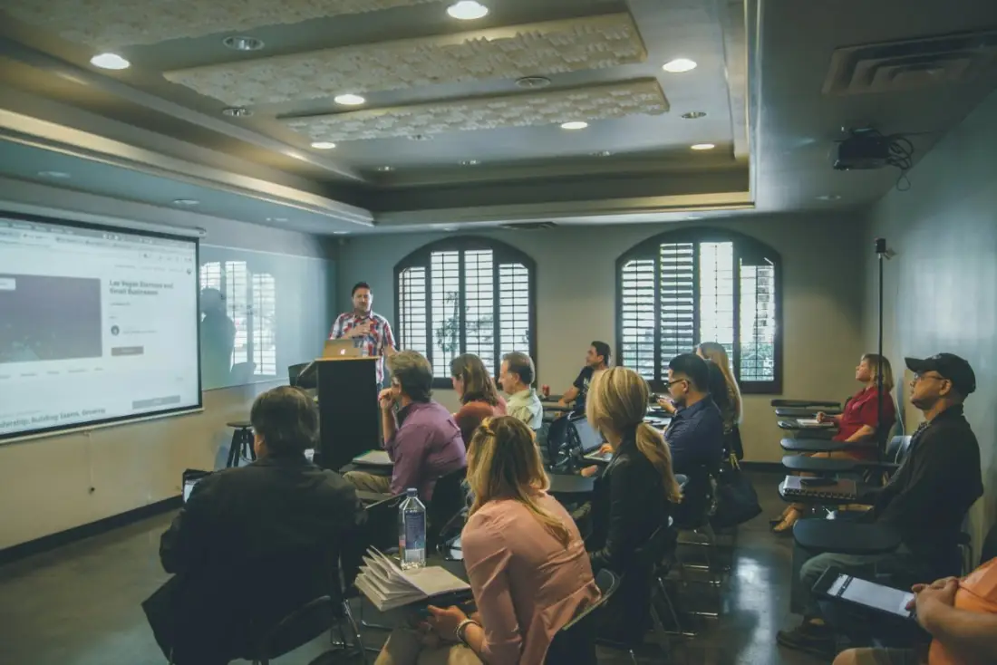
Alongside consultancy projects, our specialists train client teams to use GIS and remote sensing in their own work. Each programme is tailored to your data, software and goals.
- Tailored to your team and workflows
- Hands-on with your own data
- Delivered by practising geospatial consultants
- On-site in Lahore, at your office or online
Testimonials
What our clients say
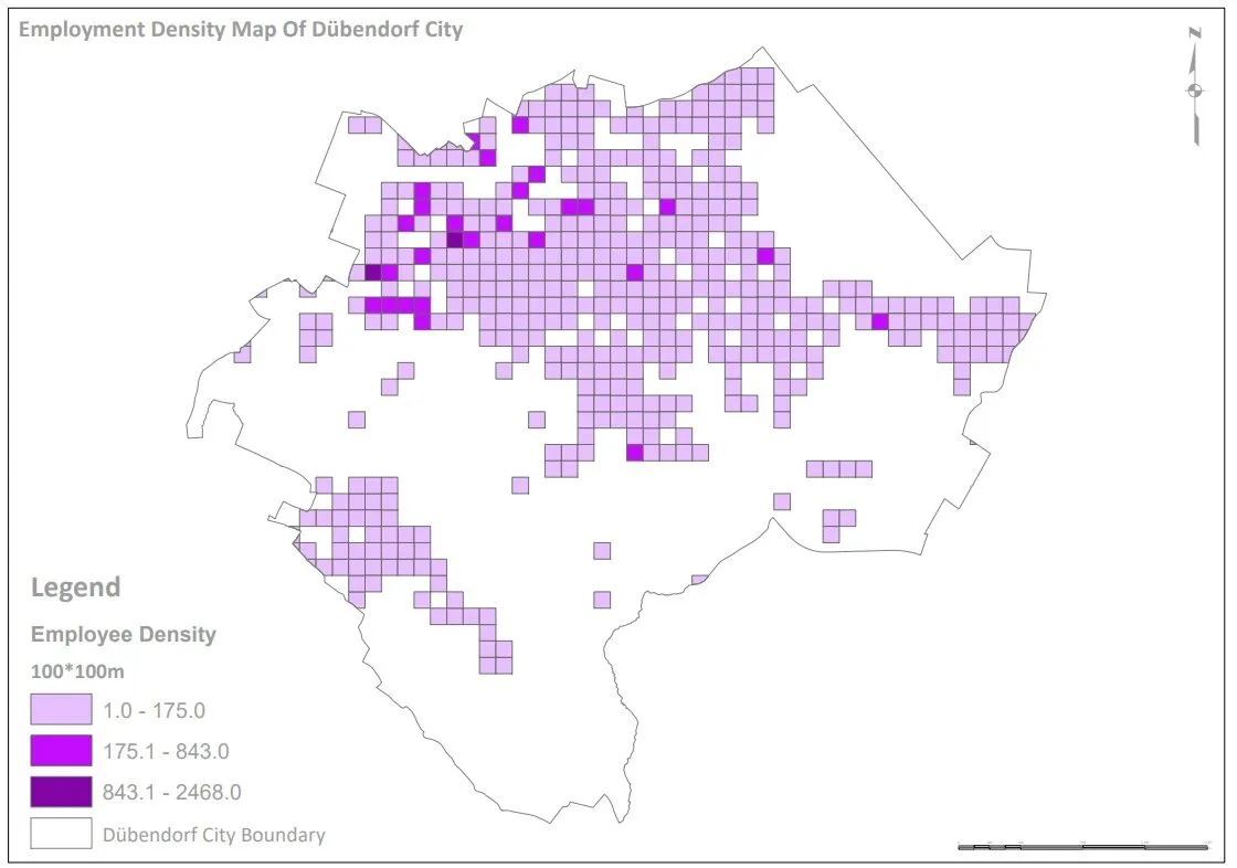
Spatial Nexus turned our scattered business and demographic data into a clear density map that our planning team could use straight away. Communication was excellent throughout.
The burn severity analysis was delivered on time, with a clear explanation of the method and its limitations. Exactly what we needed for our recovery report.
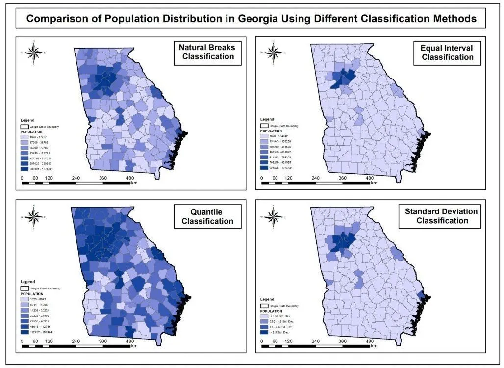
Their cartography is precise and professional. The map series made a complex classification comparison easy for non-specialists to understand.
We now see where our clients and staff are concentrated and plan service areas with confidence. A practical, business-focused GIS partner.
Insights
Guides and technical articles from our team.
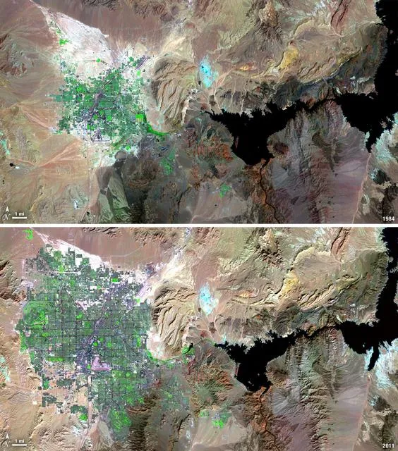
Satellite Change Detection: Methods, Accuracy and Real-World Applications
How satellite change detection works, which methods to use, where errors come from, and how indices such as NBR and dNBR turn imagery into measurable change.
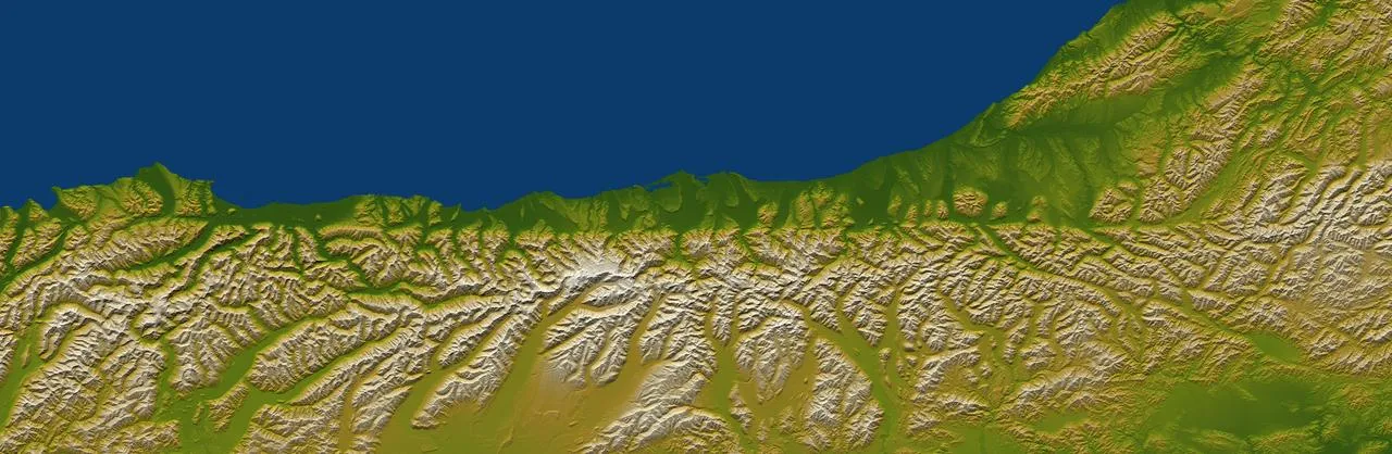
How to Choose the Right Coordinate Reference System (CRS) for GIS Projects
A practical guide to coordinate reference systems, map projections, UTM and WGS 84, and how the right CRS keeps distance, area and network analysis accurate.
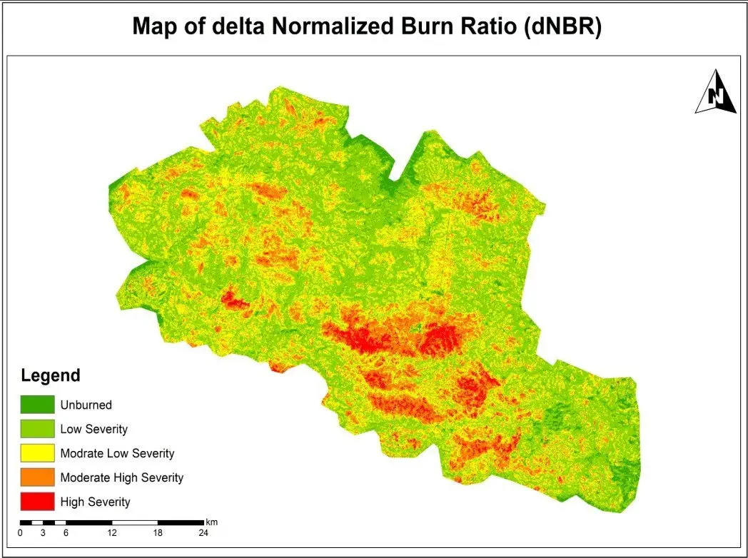
NDVI Explained: How Satellite Vegetation Indices Monitor Crops, Forests and Fire Recovery
What NDVI measures, how it is calculated from Sentinel-2 and Landsat bands, how to interpret values, and how vegetation indices support agriculture and post-fire monitoring.