GIS Data Audit and Workflow Review for an Infrastructure Team
About this project
Project overview
Example workflow showing how Spatial Nexus approaches this type of analysis.
A geospatial consultancy engagement reviewing an organisation's GIS data, software and workflows, with a prioritised plan to improve quality and efficiency.
- GIS consultancy
- GIS data audit
- geospatial workflow review
- GIS strategy
- spatial data quality
Project at a glance
- Client
- Infrastructure organisation
- Sector
- Infrastructure
- Software
- ArcGIS Pro / QGIS, PostGIS, Python, QGIS
THE CHALLENGE
What needed solving
- Spatial data was stored in many formats with inconsistent attributes.
- Repetitive manual tasks slowed the GIS team.
- There was no documented data standard.
OBJECTIVES
What the project set out to do
- Assess data quality, structure and coordinate systems.
- Review software and workflows.
- Recommend practical improvements and priorities.
Methodology
Our workflow, step by step
01
Discovery
Interviews and a data inventory established how GIS is used.
02
Quality checks
Layers were tested for completeness, topology, attributes and CRS.
03
Workflow review
Manual tasks suitable for automation were identified.
04
Roadmap
Findings were turned into a prioritised improvement plan.
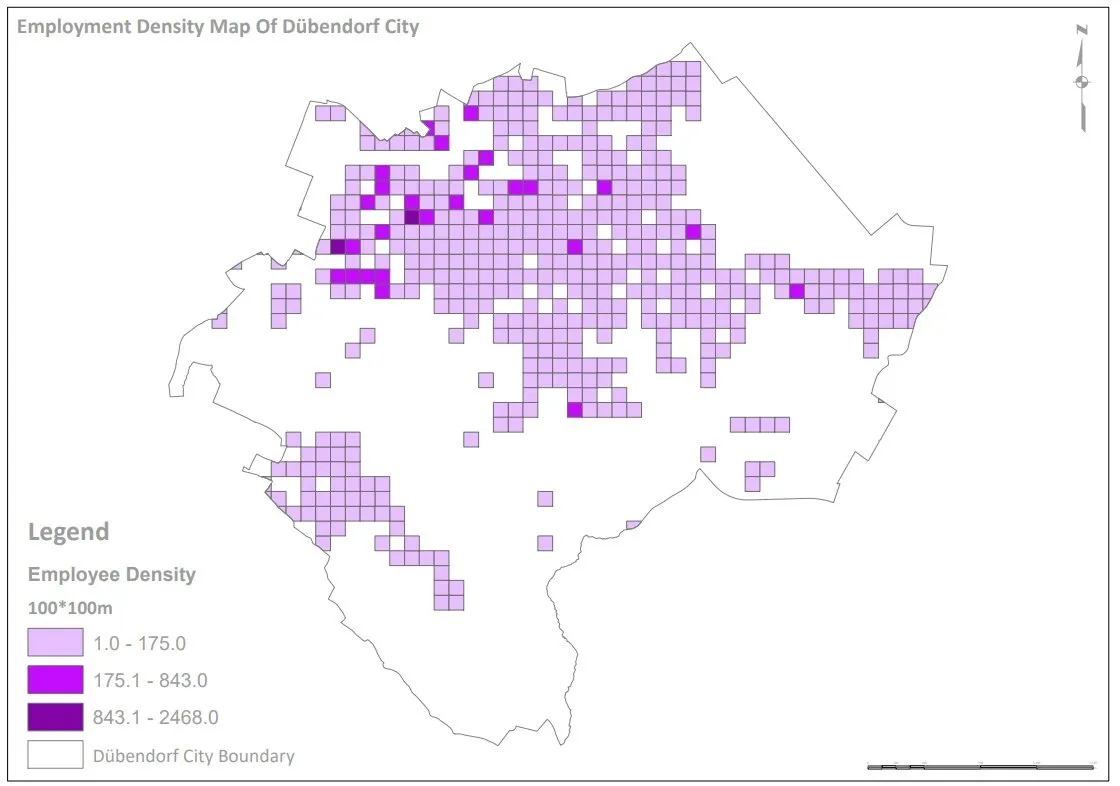
Visual output
The map
Select the image to view it at full size.

Results
What the analysis delivered
- A clear picture of data strengths and gaps.
- Recommended data standard and folder structure.
- A list of automation opportunities.
Key highlights
Why this project stands out
- Independent expert review
- Data quality assessment
- Automation opportunities
- Prioritised roadmap
Data sources
Data used
- Existing GIS layers and databases
- CAD drawings
- Interviews with GIS users
Tools and technologies
Software and methods
Deliverables
What the client received
- Audit report
- Data standard recommendations
- Improvement roadmap
WHY IT MATTERS
A structured review helps teams fix data problems at the source and focus effort where it saves the most time.
FAQ
Questions about this project
Do you need access to our systems?
Usually a copy of key datasets and short interviews are enough.
Can you help implement the recommendations?
Yes. We can support implementation or train your team.
Related projects