About this project
Project overview
Example workflow showing how Spatial Nexus approaches this type of analysis.
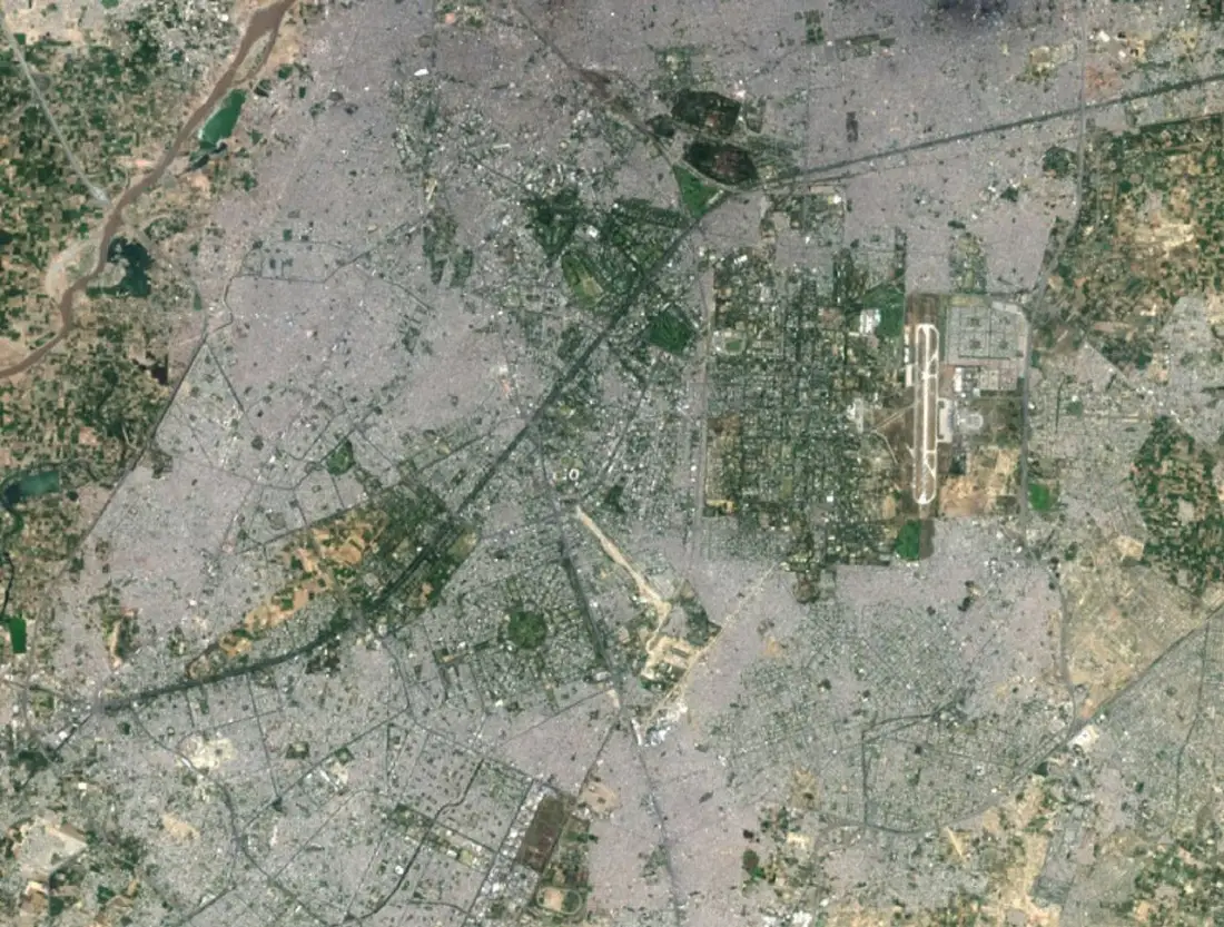
Access, slope, land use and constraints combined into a ranked suitability surface.
This page shows a typical Spatial Nexus workflow for this type of analysis.
- site suitability analysis
- multi-criteria decision analysis GIS
- site selection GIS
- weighted overlay
- public facility planning
Project at a glance
- Sector
- Spatial Analysis
- Software
- ArcGIS Pro, Network Analyst, QGIS, Python
THE CHALLENGE
What needed solving
- Choosing a facility site involves many competing criteria.
- Decisions must be transparent and defensible.
OBJECTIVES
What the project set out to do
- Agree criteria and weights with stakeholders.
- Produce a ranked suitability surface.
- Shortlist candidate sites.
Methodology
Our workflow, step by step
01
Criteria
Agree criteria, constraints and weights with the client.
02
Data preparation
Standardise each criterion to a common scale.
03
Overlay
Weighted overlay and constraint masking.
04
Ranking
Shortlist and compare candidate sites.
Visual output
The map
Select the image to view it at full size.
Results
What the analysis delivered
- Suitability map ranking locations.
- Shortlist of candidate sites.
- Documented criteria and weights.
Key highlights
Why this project stands out
- Criteria
- Data preparation
- Overlay
- Ranking
Data sources
Data used
- Road network and accessibility
- Slope from elevation data
- Land use and constraints
Tools and technologies
Software and methods
Deliverables
What the client received
- Suitability or ranking maps
- Criteria and weighting documentation
- Scenario comparisons
- Short decision report
FAQ
Questions about this project
What is multi-criteria analysis?
A method that combines several weighted factors, such as access and slope, into one suitability score.
Can weights be changed?
Yes. Scenarios can be rerun with different weights to test sensitivity.
Related projects