Employment Density Mapping of Dübendorf City Using GIS & Kernel Density Analysis
A GIS-based employment density map of Dübendorf, Switzerland, using Kernel Density Estimation to reveal where jobs concentrate and support urban and economic planning.
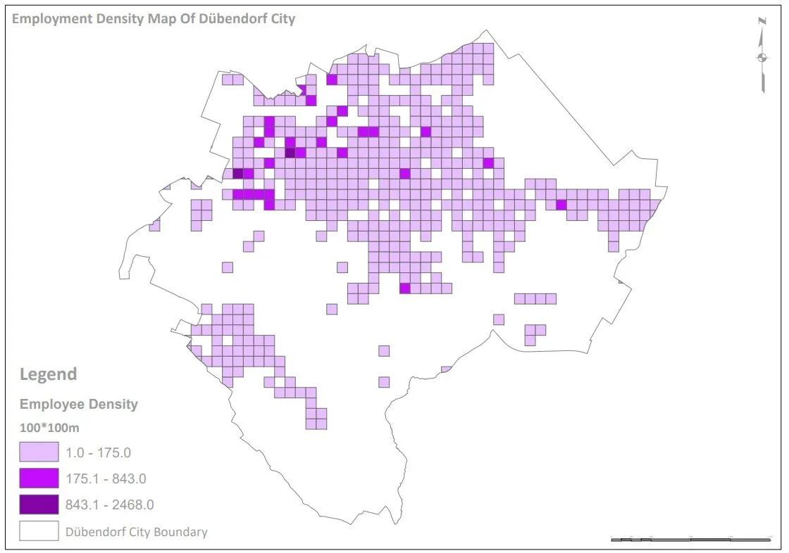
Understanding the spatial distribution of employment is critical for effective urban planning and economic development. In this project, Spatial Nexus developed a comprehensive employment density map for Dübendorf, transforming complex datasets into actionable geospatial insights.
The objective was to analyze and visualize the concentration of employment opportunities across the city, enabling planners, policymakers, and businesses to better understand the local economic landscape. By leveraging advanced GIS techniques, the project delivers a clear and data-driven representation of urban employment patterns.
Employment, business and demographic data were held in separate tables with no spatial view.
Planners could not see where jobs clustered or how employment related to transport and land use.
Point-based records were too dense to interpret directly on a map.
OBJECTIVES
What the project set out to do
Map the spatial distribution of employment across the city.
Identify employment hotspots and lower-density areas.
Relate job concentrations to transport networks and land-use zones.
Deliver a clear, presentation-ready map for decision-makers.
Methodology
Our workflow, step by step
01
Data integration
Business, employment and demographic records were cleaned, geocoded and joined into one spatial database.
02
Projection and preparation
All layers were projected to a metric coordinate system so distances and search radii were accurate.
03
Kernel Density Estimation
KDE converted employment points into a continuous density surface, weighted by number of jobs.
04
Overlay analysis
The density surface was overlaid with transport and land-use layers to interpret why hotspots occur.
05
Cartographic design
A clear colour ramp, legend and context layers produced a readable, professional map.
Visual output
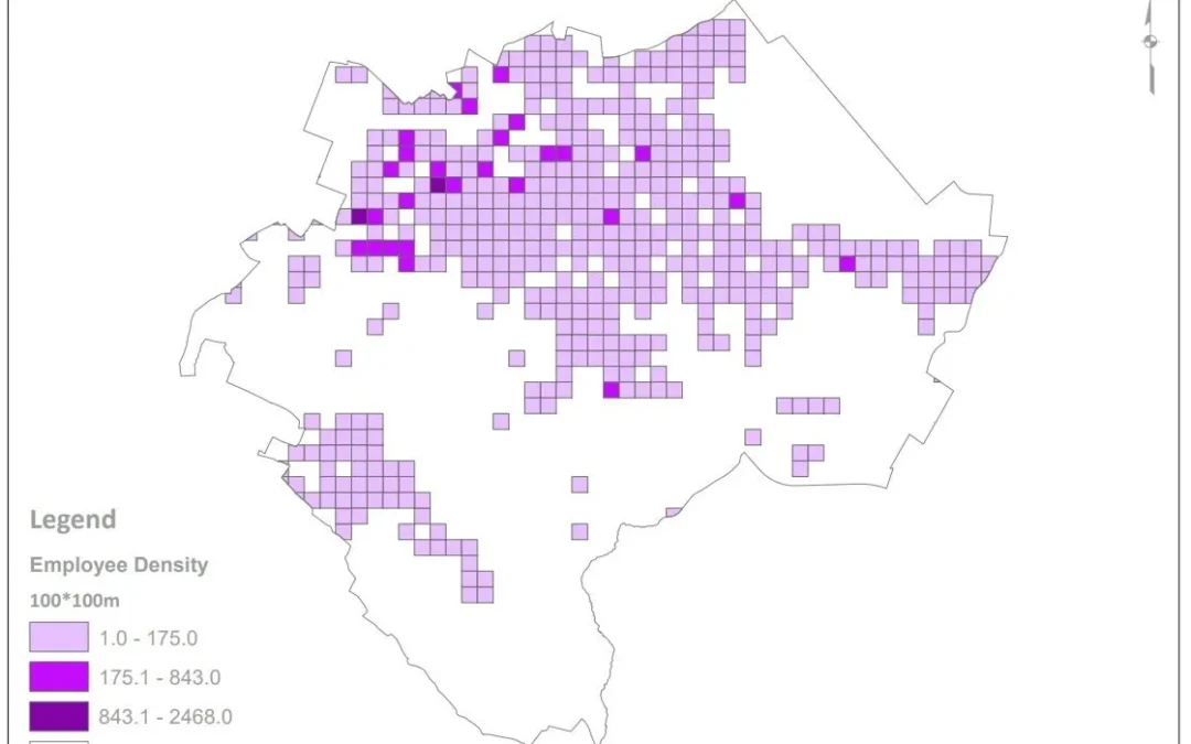
The map
Select the image to view it at full size.
Results
What the analysis delivered
Clear identification of the main employment centres in Dübendorf.
Visible relationship between job clusters, transport corridors and commercial zoning.
Evidence base for infrastructure, transport and economic development planning.
Key highlights
Why this project stands out
Kernel Density Estimation weighted by employment
Integration of business, demographic and land-use data
Transport and zoning overlays
Presentation-ready cartography
Data sources
Data used
Employment and business location records
Demographic datasets
Land-use zoning layers
Transport network data
Tools and technologies
Software and methods
ArcGISSpatial analysis and density modeling
QGISData processing and visualization
GIS DatasetsEmployment, demographics, land use, and transport networks
Microsoft OfficeReporting and data management
Deliverables
What the client received
Employment density map (print and digital)
Processed GIS datasets
Density raster surface
Methodology summary
WHY IT MATTERS
Employment density mapping gives planners an objective view of where economic activity happens, supporting decisions on transport investment, zoning and business development.
FAQ
Questions about this project
What is kernel density estimation in GIS?
KDE turns individual point locations into a smooth surface that shows how concentrated features are across an area, here weighted by the number of jobs at each location.
Which software was used?
ArcGIS for spatial analysis and density modelling, and QGIS for data processing and visualisation.
Can this analysis be applied to other cities?
Yes. The same workflow works for any city with geocoded employment or business data.
Network Analysis for Optimized Advanced Bike Routes Using GIS
An ArcGIS Pro and OpenStreetMap network analysis that generates optimised and alternative cycling routes, accounting for terrain and validated against real-world conditions.
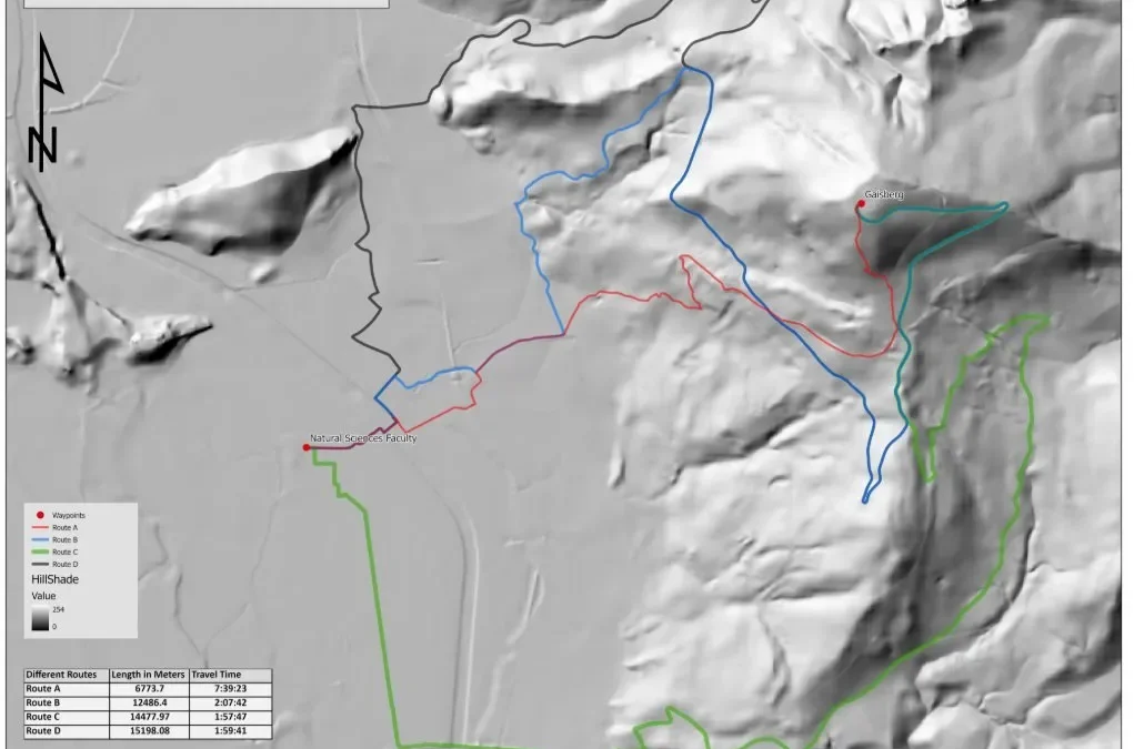
Efficient route planning is critical for sustainable mobility and smart transportation systems. In this project, Spatial Nexus developed an advanced GIS-based bike routing solution using ArcGIS Pro and OpenStreetMap (OSM) data to generate optimized and alternative cycling routes.
The objective was to enhance the accuracy, safety, and usability of bike navigation systems, particularly in complex environments such as mountainous and terrain-sensitive regions.
Riyadh Postcode Boundary Mapping for Smart City and Last-Mile Delivery GIS
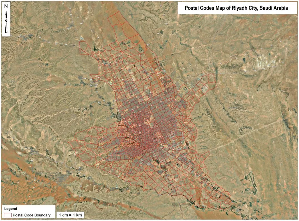
Mapping postal code boundaries across metropolitan Riyadh as clean GIS and GeoJSON layers for logistics, last-mile delivery and smart city applications.
Mapping postal code boundaries across metropolitan Riyadh as clean GIS and GeoJSON layers for logistics, last-mile delivery and smart city applications.
Delivery and planning teams needed postcode zones as usable GIS boundaries, not static images.
Boundaries had to align with the street network and avoid gaps or overlaps.
Data had to work in web maps and routing tools.
OBJECTIVES
What the project set out to do
Create a complete postcode boundary layer for metropolitan Riyadh.
Ensure clean topology with no gaps or overlaps.
Deliver the layer in GIS and GeoJSON formats for web use.
Methodology
Our workflow, step by step
01
Reference collection
Postcode reference material and the street network were gathered for the metropolitan area.
02
Boundary digitising
Postcode zones were digitised along streets and natural boundaries over satellite imagery.
03
Topology checks
Rules removed gaps, overlaps and slivers between adjacent zones.
04
Attribution
Each polygon received its postcode and descriptive attributes.
05
Export and mapping
Layers were exported to GeoJSON and Shapefile and a reference map was produced.
Visual output
The map
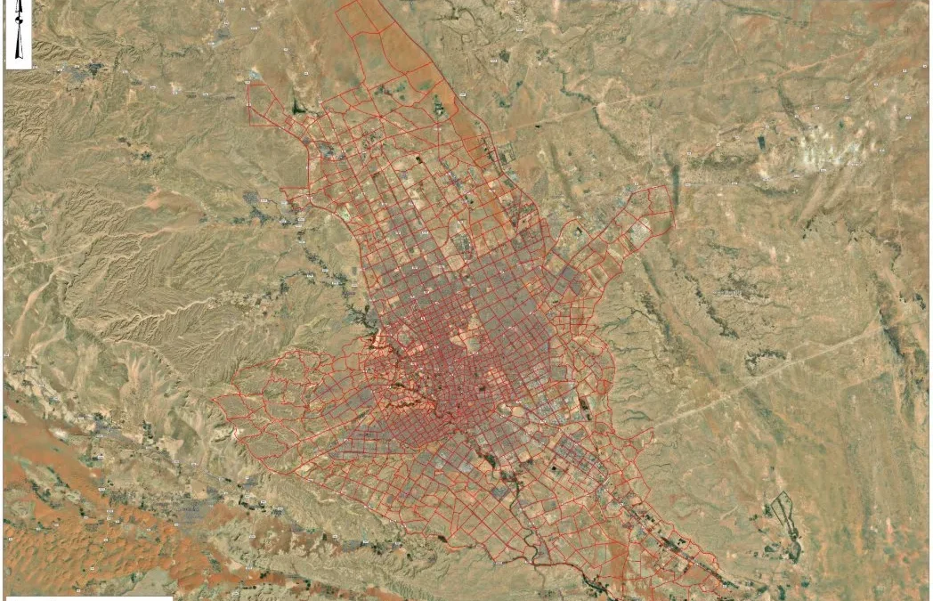
Spatial Nexus map output. Select the image to view it at full size.
Results
What the analysis delivered
A seamless postcode boundary layer covering metropolitan Riyadh.
Web-ready GeoJSON for interactive maps and routing platforms.
A clear reference map showing postcode zones over imagery.
Key highlights
Why this project stands out
City-scale boundary mapping
Topologically clean polygons
GeoJSON for web GIS
Ready for logistics and routing
Data sources
Data used
Postcode reference information
High-resolution satellite basemap
Road and street network
Tools and technologies
Software and methods
ArcGIS ProBoundary digitising, topology and cartography
QGISData validation and GeoJSON export
Satellite basemapReference for boundary alignment
Global Mapper
Deliverables
What the client received
Postcode boundary layer (GeoJSON and Shapefile)
Reference map (PDF and PNG)
Attribute data dictionary
WHY IT MATTERS
Accurate postcode boundaries let logistics companies assign delivery zones, plan routes and analyse demand, and give city planners a consistent spatial reference.
FAQ
Questions about this project
What is GeoJSON?
An open, lightweight format for geographic data that works directly in web maps such as Leaflet, Mapbox and ArcGIS Online.
Can the boundaries be used for routing?
Yes. Zones can be combined with road networks to assign deliveries and plan routes.
Can you map postcodes for other cities?
Yes. The same workflow applies to any city with postcode reference information.