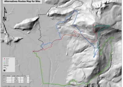
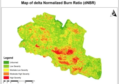
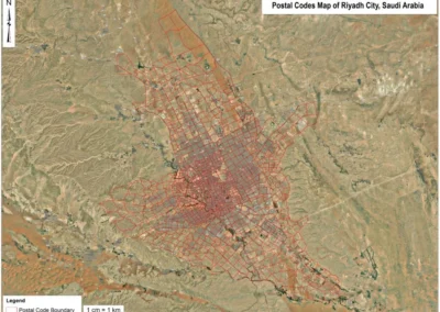
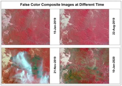
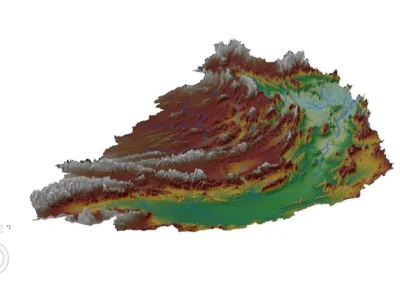
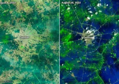
Home›ProjectsOur WorkCase studies in spatial analysis, cartography, remote sensing and network analysis, with the maps each project produced.Each case study sets out the question, the data and methods used and the outputs delivered.AllCartographyConsultancyEnvironmentInfrastructureLocation IntelligenceNetwork AnalysisRemote SensingSpatial AnalysisUrban PlanningReplicate & Enhance U.S. National Park Service Map Using ArcGIS ProCartographyGIS Data Visualization Specialist for Choropleth Map Series Using ArcGIS 10.8Cartography, Spatial AnalysisEmployment Density Mapping of Dübendorf City Using GIS & Kernel Density AnalysisSpatial Analysis, Urban PlanningClient & Workforce Distribution Mapping Using GIS (Switzerland)Location Intelligence, Spatial AnalysisNetwork Analysis for Optimized Advanced Bike Routes Using GISNetwork Analysis, Urban PlanningWildfire Burn Severity Assessment Using NBR & dNBR (Remote Sensing Analysis)Environment, Remote SensingLand-cover change mapping for a regional land-use planRemote SensingMulti-criteria site suitability for a public facilitySpatial Analysis, Urban PlanningWeb map dashboard for infrastructure assetsInfrastructure, Location IntelligenceVegetation condition time series in Earth EngineEnvironment, Remote SensingCAD drawings converted to a GIS asset layerInfrastructure, Spatial AnalysisFlood susceptibility mapping for a river catchmentEnvironment, Remote SensingRiyadh Postcode Boundary Mapping for Smart City and Last-Mile Delivery GISLocation Intelligence, Urban PlanningMulti-Temporal Satellite Monitoring with Google Earth EngineEnvironment, Remote Sensing3D Terrain Visualization and DEM Analysis for Engineering PlanningInfrastructure, Spatial AnalysisAutomated Flood Water Detection with Machine Learning and Satellite ImageryEnvironment, Remote SensingGIS Data Audit and Workflow Review for an Infrastructure TeamConsultancy, InfrastructureHave a similar project in mind?Discuss a project